Porto di Piombino, Piombino
Map
Gallery

Facts and practical information
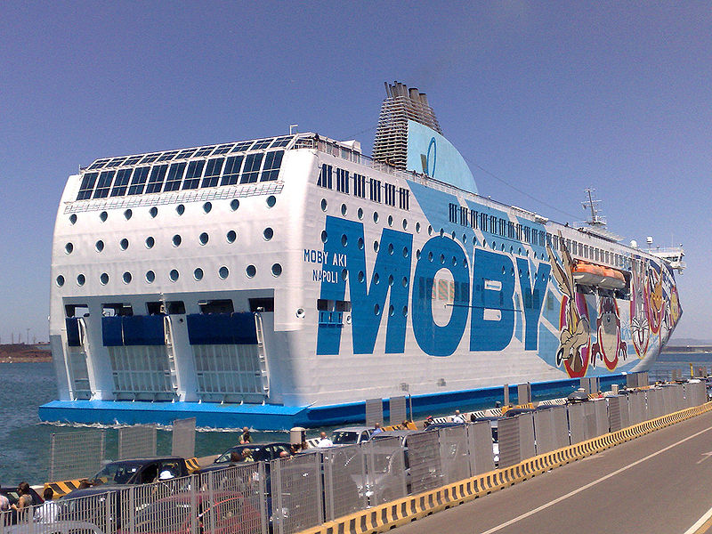
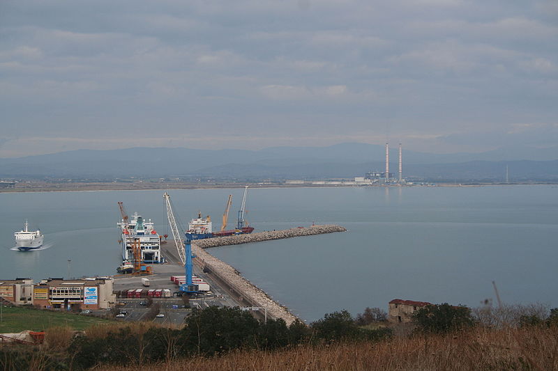
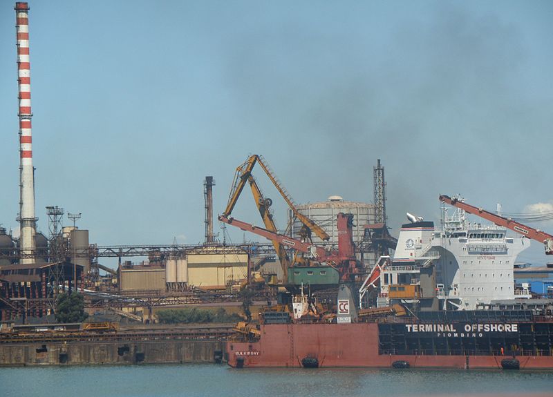
The port of Piombino is located on the border between the Ligurian Sea and the Tyrrhenian Sea. It is Italy's third largest port for passenger traffic with lines to the island of Elba, Sardinia, Corsica and Pianosa. It is also important commercially and industrially, linked mainly to the presence of the Piombino steel plants.
Coordinates: 42°55'58"N, 10°32'43"E
Address
Piombino
ContactAdd
Social media
Add
Day trips
Porto di Piombino – popular in the area (distance from the attraction)
Nearby attractions include: Museo archeologico del territorio di Populonia, La Rocchetta Lighthouse, L’Istituto di Biologia ed Ecologia Marina - Museo del Mare, Rivellino.
Frequently Asked Questions (FAQ)
How to get to Porto di Piombino by public transport?
The nearest stations to Porto di Piombino:
Ferry
Train
Ferry
- Molo 8 (5 min walk)
- Molo 7 (7 min walk)
Train
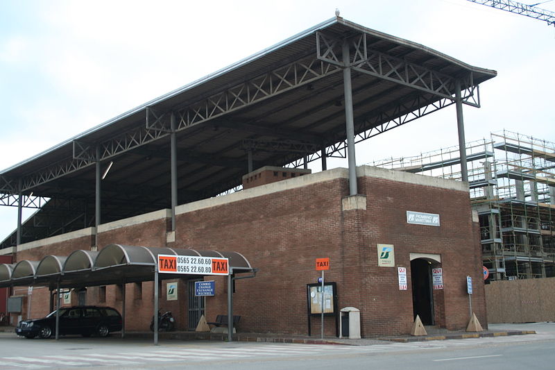
- Piombino Marittima (8 min walk)
- Piombino (23 min walk)


