Racconigi città di seta, Racconigi
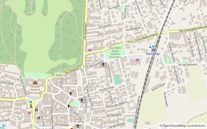
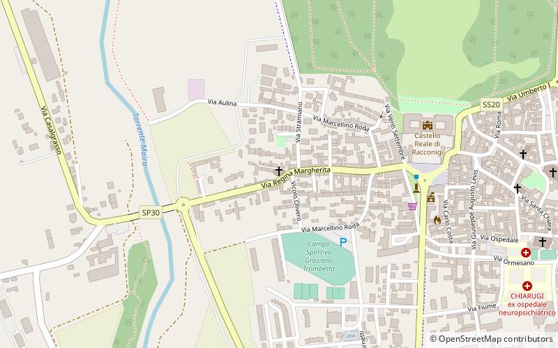
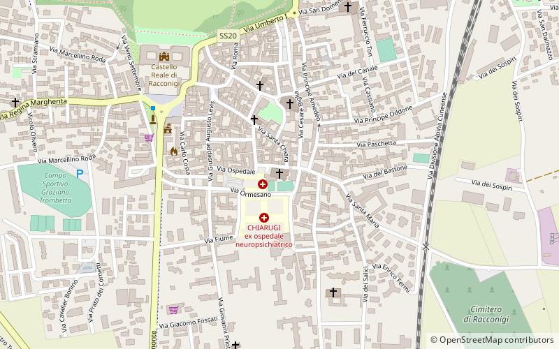
Map
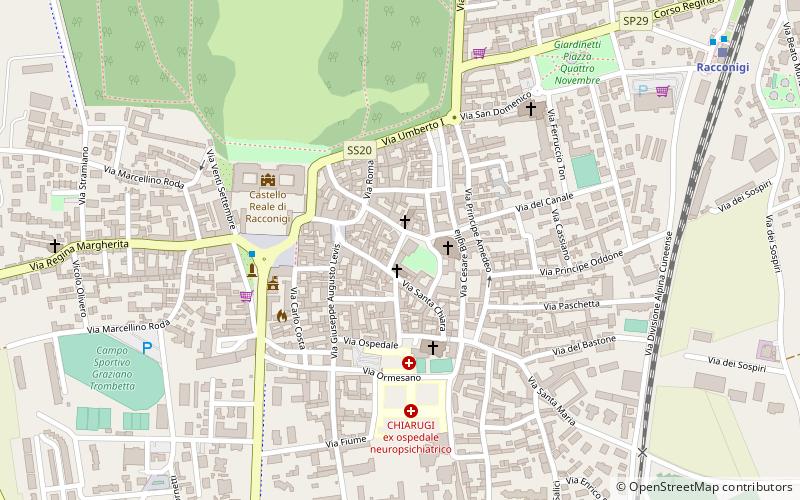
Map

Facts and practical information
Racconigi città di seta (address: Via Giuseppe Garibaldi) is a place located in Racconigi (Piedmont region) and belongs to the category of specialty museum, museum.
It is situated at an altitude of 869 feet, and its geographical coordinates are 44°46'6"N latitude and 7°40'43"E longitude.
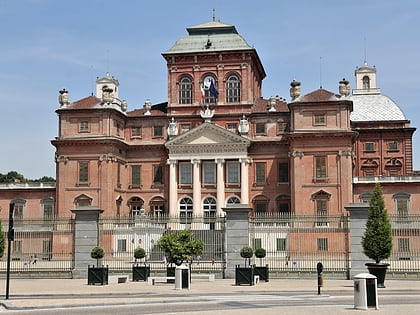
Among other places and attractions worth visiting in the area are: San Giovanni Battista (church, 2 min walk), Church of Saint Mary Major (church, 3 min walk), Castello di Racconigi (unesco, 5 min walk).
Coordinates: 44°46'6"N, 7°40'43"E
Day trips
Racconigi città di seta – popular in the area (distance from the attraction)
Nearby attractions include: Castello di Racconigi, San Vincenzo Ferreri, San Giovanni Battista, Santuario Reale della Beata Vergine delle Grazie.
Frequently Asked Questions (FAQ)
Which popular attractions are close to Racconigi città di seta?
Nearby attractions include San Giovanni Battista, Racconigi (2 min walk), Church of Saint Mary Major, Racconigi (3 min walk), Castello di Racconigi, Racconigi (5 min walk), San Vincenzo Ferreri, Racconigi (6 min walk).

