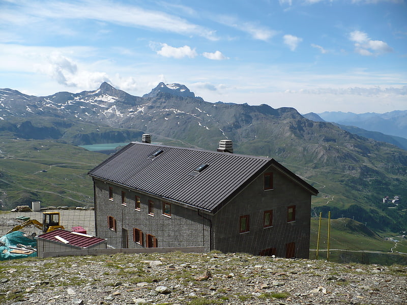
Refuge Jean-Antoine Carrel, Breuil-Cervinia

Gallery (1)
Map
Map
Facts and practical information
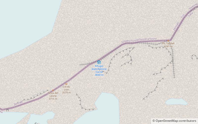
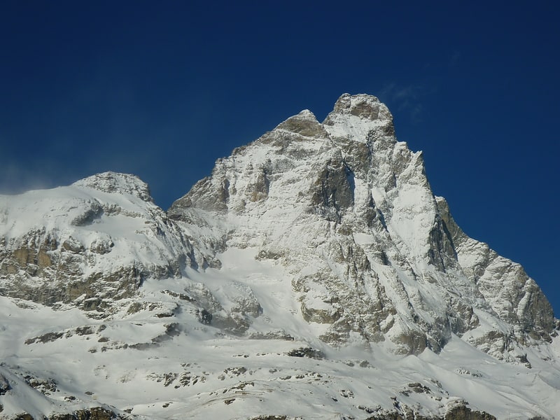
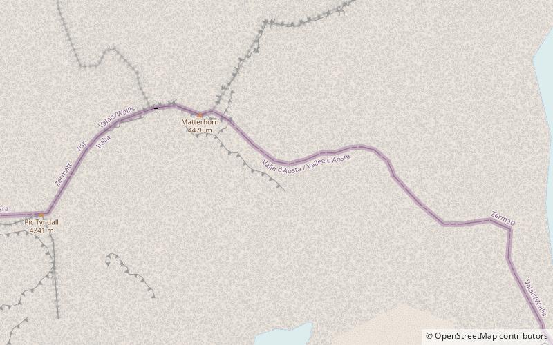
Refuge Jean-Antoine Carrel is a refuge in the Alps at an altitude of 3,830m in Aosta Valley, Italy. It is located on the south-west ridge of the Matterhorn, near the Swiss border. ()
Address
Breuil-Cervinia
ContactAdd
Social media
Add
Day trips
Refuge Jean-Antoine Carrel – popular in the area (distance from the attraction)
Nearby attractions include: Rif. Oriondé, Pic Tyndall, Testa del Leone, Picco Muzio.

Frequently Asked Questions (FAQ)
Which popular attractions are close to Refuge Jean-Antoine Carrel?
Nearby attractions include Testa del Leone, Breuil-Cervinia (7 min walk), Pic Tyndall, Breuil-Cervinia (9 min walk), Picco Muzio, Breuil-Cervinia (17 min walk).