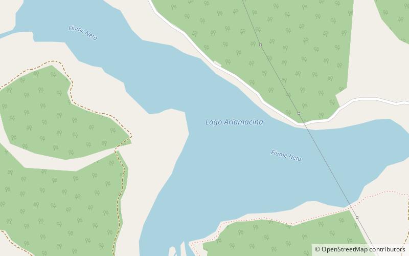
Lago di Ariamacina, Sila National Park
Map

Map

Facts and practical information
Lago di Ariamacina is a lake in the province of Cosenza, Calabria, southern Italy. It is located in the La Sila range within Sila National Park. The Neto flows into and out of the lake. The lake is a reservoir built between 1953 and 1955 by damming the Neto. Its purpose is to generate hydroelectricity. North of the lake is Lago di Cecita and south of the lake is Lago Arvo. ()
Local name: Lago Ariamacina Built: 1953 (73 years ago)Area: 0.46 mi²Elevation: 4321 ft a.s.l.Coordinates: 39°19'53"N, 16°32'37"E
Address
Sila National Park
ContactAdd
Social media
Add
Day trips
Lago di Ariamacina – popular in the area (distance from the attraction)
Nearby attractions include: Cecita Lake, Botte Donato, Monte Carlomagno, Monte Botte Donato.


