Rifugio Città di Fiume, Dolomites
Map

Map

Facts and practical information
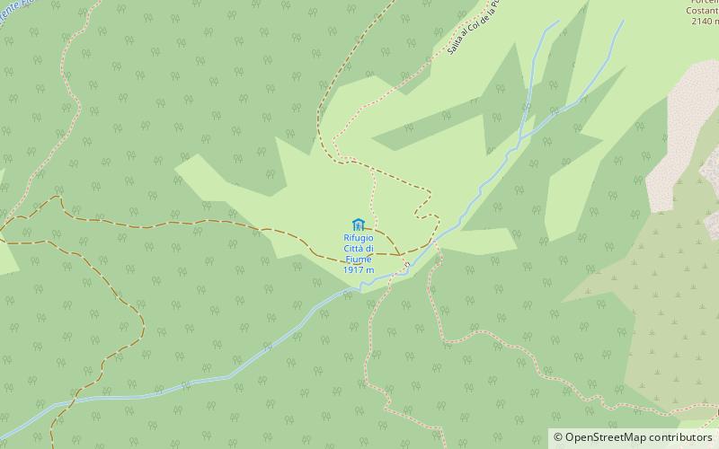
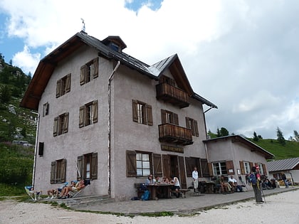
The Città di Fiume refuge is an alpine refuge in the Dolomites located in the municipality of Borca di Cadore, towards the end of the Fiorentina valley, at an elevation of 1,917 m a.s.l. It is located along the slopes of the Puina col, dominated to the south by Mount Pelmo.
Day trips
Rifugio Città di Fiume – popular in the area (distance from the attraction)
Nearby attractions include: Averau, Monte Civetta, Monte Pelmo, Rifugio Averau.
Frequently Asked Questions (FAQ)
How to get to Rifugio Città di Fiume by public transport?
The nearest stations to Rifugio Città di Fiume:
Bus
Bus
- Forcella Staulanza • Lines: 10 (37 min walk)


