Rifugio Carlo Semenza

Gallery (4)
Map

Map
Gallery
Facts and practical information
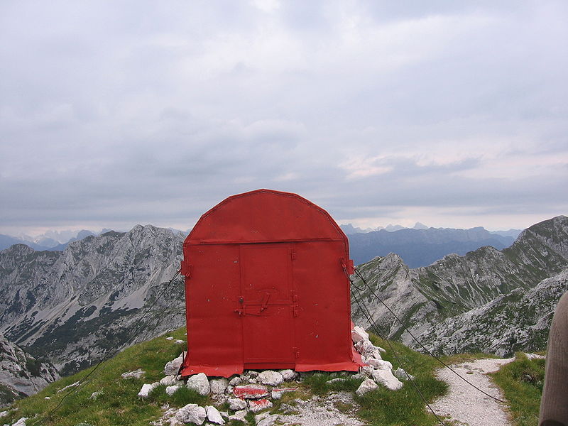
The Carlo and Massimo Semenza Refuge is a refuge located in the municipality of Tambre, Val de Piera, in the Venetian Prealps, at 2,020 m above sea level.
Coordinates: 46°8'3"N, 12°29'23"E
Location
Via Cansiglio, 25Farra D'Alpago 32010 Veneto
ContactAdd
Social media
Add
Day trips


