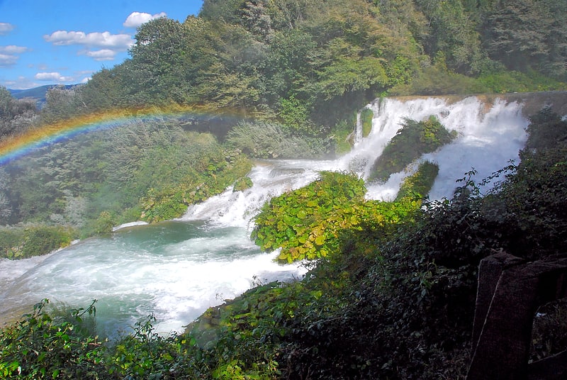
Parco Fluviale del Nera, Montefranco

Gallery (1)
Map
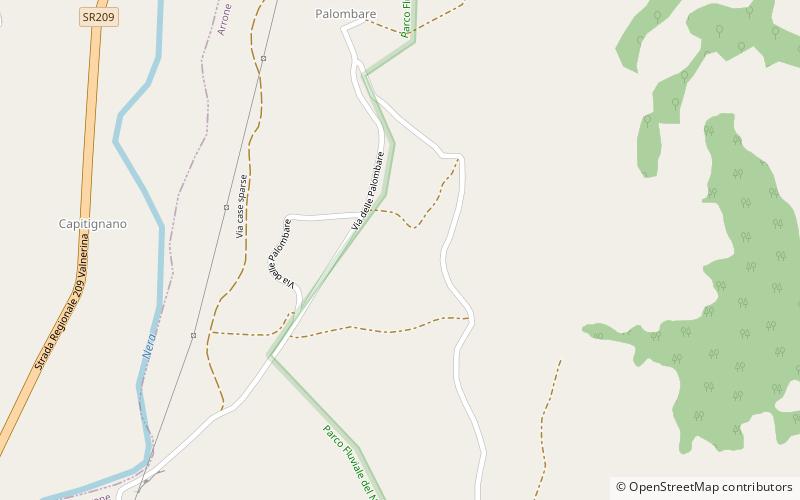
Map
Facts and practical information
Parco Fluviale del Nera is a place located in Montefranco (Umbria region) and belongs to the category of relax in park, park.
It is situated at an altitude of 873 feet, and its geographical coordinates are 42°35'42"N latitude and 12°46'37"E longitude.
Among other places and attractions worth visiting in the area are: Arrone (locality, 31 min walk), Mummie, Ferentillo (specialty museum, 48 min walk), Polino (locality, 89 min walk).
Area: 9.5 mi²Elevation: 873 ft a.s.l.Coordinates: 42°35'42"N, 12°46'37"E
Address
Montefranco
ContactAdd
Social media
Add
Day trips