EUR, Rome
Map
Gallery
Facts and practical information
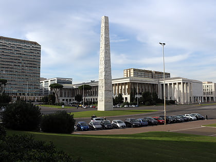
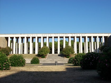
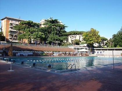
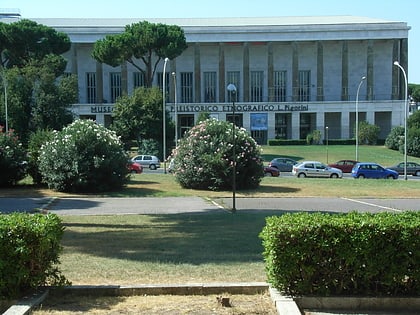
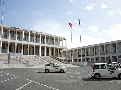
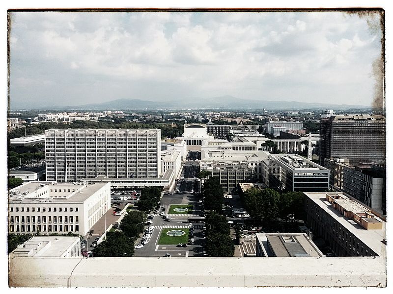
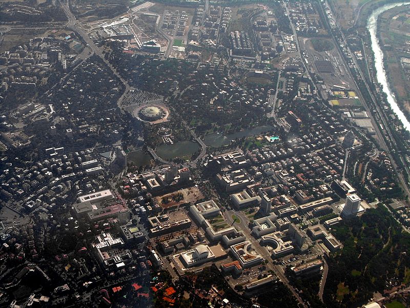
EUR is a residential and business district in Rome, Italy, part of the Municipio IX. ()
Alternative names: Founded: 26 April 1937 (88 years ago)Area: 98.84 acres (0.1544 mi²)Coordinates: 41°50'12"N, 12°28'2"E
Address
EURRome
ContactAdd
Social media
Add
Day trips
EUR – popular in the area (distance from the attraction)
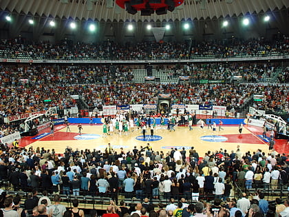
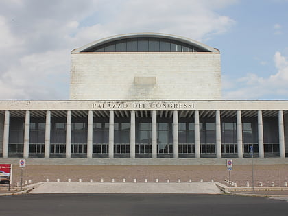
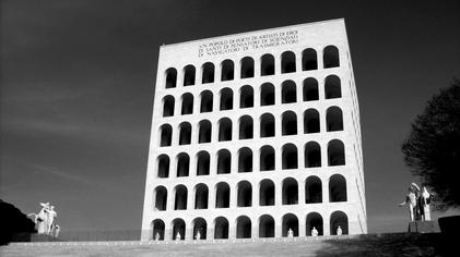
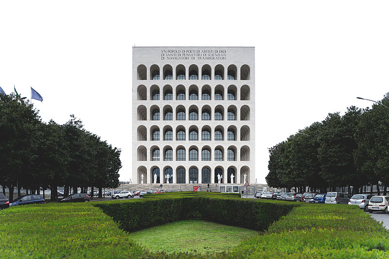
Nearby attractions include: LunEur, Palazzo della Civiltà Italiana, PalaLottomatica, Palazzo dei Congressi.
Frequently Asked Questions (FAQ)
Which popular attractions are close to EUR?
Nearby attractions include Palazzo della Civiltà Italiana, Rome (3 min walk), Marconi Obelisk, Rome (8 min walk), Pigorini National Museum of Prehistory and Ethnography, Rome (9 min walk), Palazzo dei Congressi, Rome (12 min walk).
How to get to EUR by public transport?
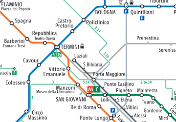
The nearest stations to EUR:
Bus
Metro
Light rail
Train
Bus
- Beethoven/Civiltà del Lavoro • Lines: 130F, 708, 762, 763, 764, 767, 777, 778, 779, 788, C7, n2, n2;nMB, n3 (3 min walk)
- Ciro il Grande • Lines: 170, 703, 703L, 707, 707P, 708, 762, 763, 764, 767, 777, 778, 779, 788, C7 (3 min walk)
Metro
- EUR Magliana • Lines: B (8 min walk)
- EUR Palasport • Lines: B (12 min walk)
Light rail
- EUR Magliana • Lines: Fc2 (8 min walk)
Train
- Villa Bonelli (26 min walk)



 Metro / Tram / Rail

