Morivione, Milan

Map
Facts and practical information
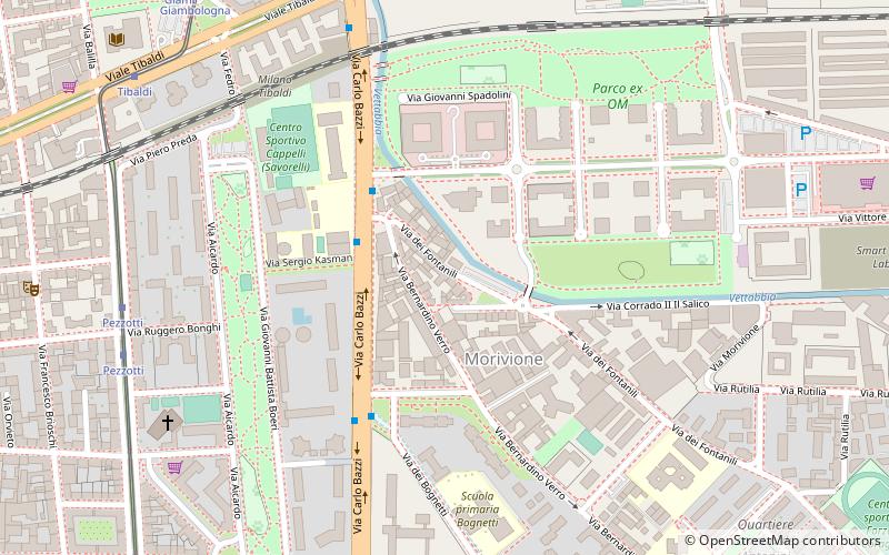
Morivione is a district of the city of Milan, Italy, part of the Zone 5 administrative division, located south of the city centre. It is informally defined as the area enclosed within four streets, namely Viale Toscana, Via Ripamonti, Via Antonini and Via Bazzi. The district is especially associated to the celebrations in honour of Saint George, where Milanese people would traditionally drink milk and eat a kind of sweet called pan de mein. ()
Address
Zona 5 (Morivione)Milan
ContactAdd
Social media
Add
Day trips
Morivione – popular in the area (distance from the attraction)
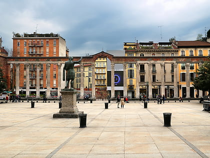
Nearby attractions include: Naviglio Pavese, Colonne di San Lorenzo, Basilica of San Lorenzo, Porta Ticinese.
Frequently Asked Questions (FAQ)
Which popular attractions are close to Morivione?
Nearby attractions include Bocconi, Milan (13 min walk), Fondazione Prada, Milan (19 min walk), Porta Vigentina, Milan (20 min walk), Vigentino, Milan (21 min walk).
How to get to Morivione by public transport?
The nearest stations to Morivione:
Bus
Trolleybus
Tram
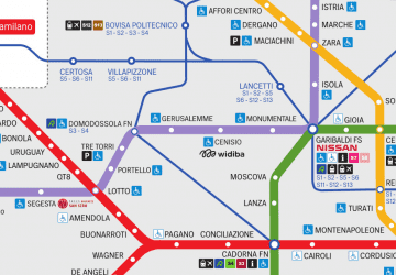
Metro
Train
Bus
- Via Bazzi - Via Fontanili • Lines: 65, 79 (3 min walk)
- Viale Toscana - Via Castelbarco • Lines: 79 (8 min walk)
Trolleybus
- Viale Toscana - Via Castelbarco • Lines: 90 (8 min walk)
- Tibaldi • Lines: 90, 91 (9 min walk)
Tram
- Pezzotti • Lines: 15 (8 min walk)
- Tibaldi • Lines: 15 (9 min walk)
Metro
- Porta Romana • Lines: M3 (25 min walk)
- Abbiategrasso • Lines: M2 (26 min walk)
Train
- Milano Romolo (27 min walk)
- Milano Porta Genova (32 min walk)
 Metro
Metro


