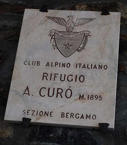
Rifugio Antonio Curò

Gallery (2)
Map
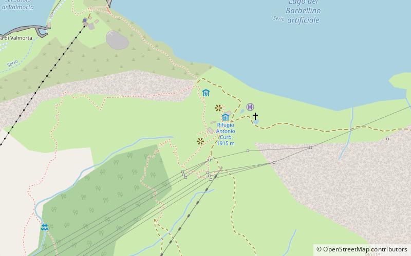
Map
Gallery
Facts and practical information
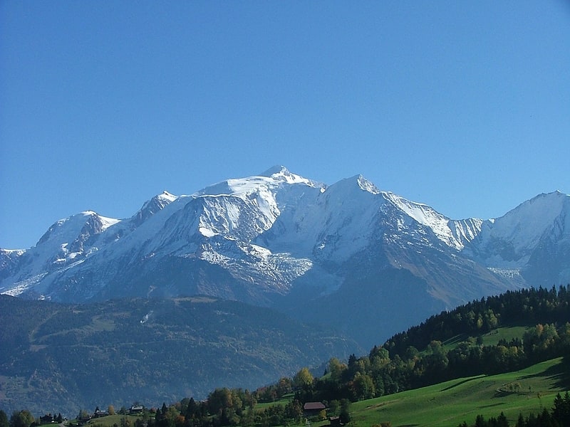
The Antonio Curò refuge is a refuge located in the municipality of Valbondione, in the upper Seriana Valley, in the Orobian Alps, at 1915 m above sea level.
Day trips
The Antonio Curò refuge is a refuge located in the municipality of Valbondione, in the upper Seriana Valley, in the Orobian Alps, at 1915 m above sea level.
Where to next? Visit ![]() Lombardy region page or discover the top tourist attractions in Italy.
Lombardy region page or discover the top tourist attractions in Italy.