Mont Néry
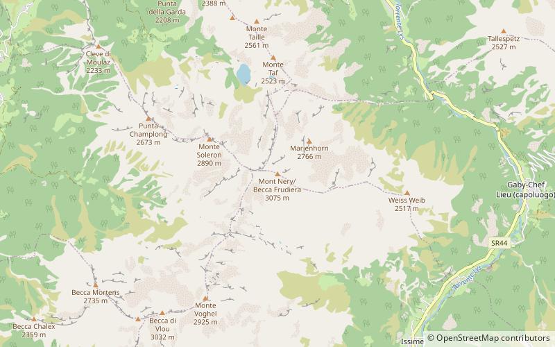
Map
Map

Facts and practical information
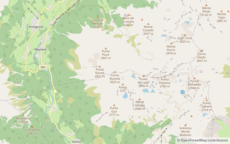
Mont Néry is a mountain of the Pennine Alps in Aosta Valley, northwestern Italy. ()
Local name: Monte Néry First ascent: 1873Elevation: 10089 ftProminence: 2972 ftCoordinates: 45°42'56"N, 7°49'13"E
Location
Aosta Valley
ContactAdd
Social media
Add
Day trips
Mont Néry – popular in the area (distance from the attraction)
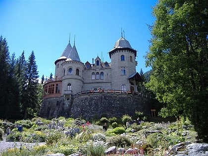
Nearby attractions include: Corno Bussola, Graines Castle, Lago della Vecchia, Monte Cresto.

