Ilmenspitze

Gallery (1)
Map
Map
Facts and practical information
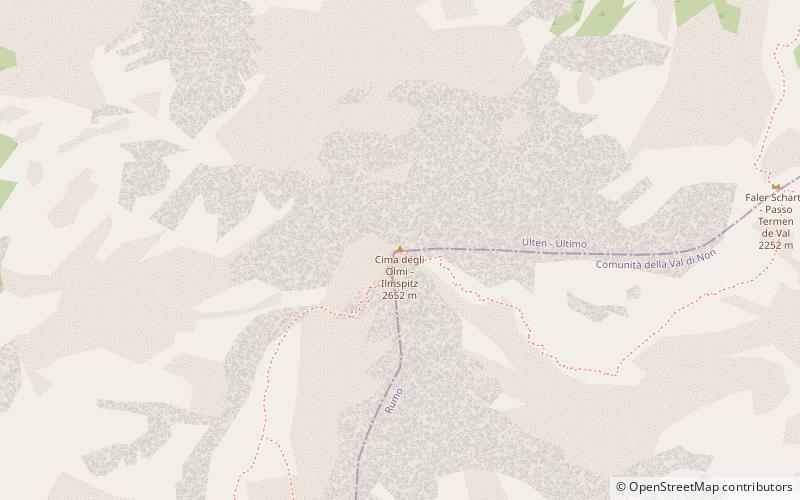
The Ilmenspitze is a mountain in the Ortler Alps on the border between South Tyrol and Trentino, Italy. It is the highest peak of Ilmenkamm, a mountain crest in the Ortler Alps and a prominent peak between the Val d'Ultimo and the Deutschnonsberg. ()
Location
Trentino-South Tyrol
ContactAdd
Social media
Add
Day trips


