Via del Corso, Rome
Map
Gallery
Facts and practical information
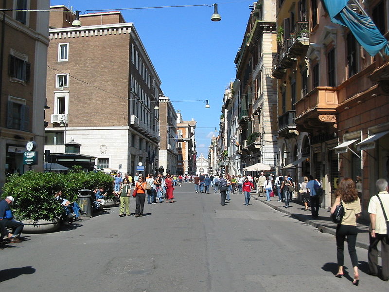
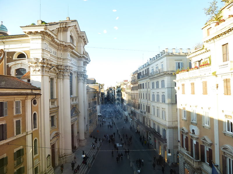
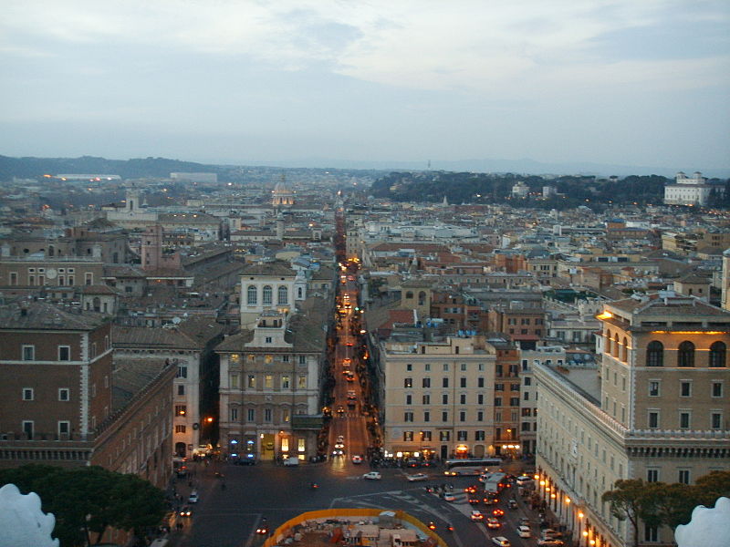
The Via del Corso is a main street in the historical centre of Rome. It is straight in an area otherwise characterized by narrow meandering alleys and small piazzas. Considered a wide street in ancient times, the Corso is approximately 10 metres wide, and it only has room for two lanes of traffic and two narrow sidewalks. The northern portion of the street is a pedestrian area. The length of the street is roughly 1.5 kilometres. ()
Day trips
Via del Corso – popular in the area (distance from the attraction)
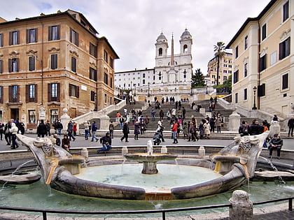
Nearby attractions include: Via Condotti, Ara Pacis, Piazza di Spagna, Fontana della Barcaccia.
Frequently Asked Questions (FAQ)
Which popular attractions are close to Via del Corso?
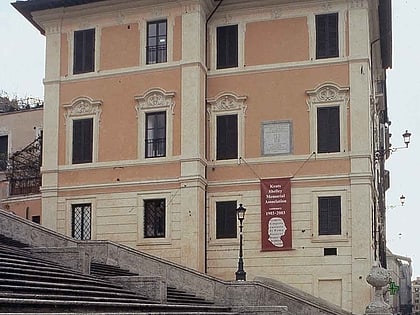
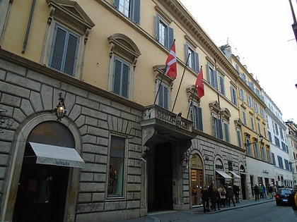
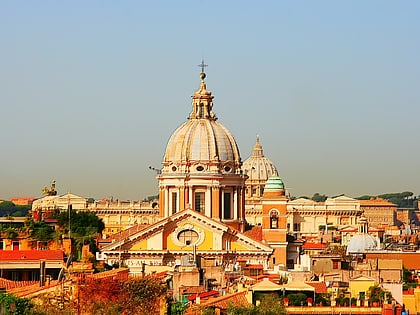
Nearby attractions include San Carlo al Corso, Rome (2 min walk), Condotti 29, Rome (2 min walk), Palazzo Della Porta Negroni Caffarelli, Rome (2 min walk), Palazzo Malta, Rome (3 min walk).
How to get to Via del Corso by public transport?
The nearest stations to Via del Corso:
Bus
Ferry
Metro
Tram
Light rail
Trolleybus
Bus
- Augusto Imperatore • Lines: 301, 913, G03, G30 (2 min walk)
- Augusto Imperatore/Ara Pacis • Lines: 628, C3, n25 (4 min walk)
Ferry
- Ponte Cavour (6 min walk)
- Sant'Angelo • Lines: Battelli di Roma (16 min walk)
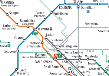
Metro
- Spagna • Lines: A (9 min walk)
- Flaminio • Lines: A (14 min walk)
Tram
- Flaminio • Lines: 2 (13 min walk)
- Venezia • Lines: 8 (19 min walk)
Light rail
- Flaminio • Lines: Fc3 (14 min walk)
Trolleybus
- XX Settembre/Min. Finanze • Lines: 90 (24 min walk)
- Volturno/Cernaia • Lines: 90 (27 min walk)



 Metro / Tram / Rail


