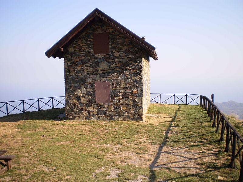
Rifugio Pratorotondo, Cogoleto

Gallery (2)
Map
Map
Gallery
Facts and practical information
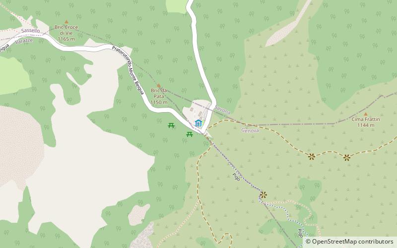
The Prato Rotondo refuge is a refuge located at the place of the same name in the Beigua Regional Nature Park on the border between the municipalities of Sassello, Varazze and Cogoleto, along the driveway from Mount Beigua to Sassello and/or Urbe.
Coordinates: 44°25'41"N, 8°35'12"E
Day trips


