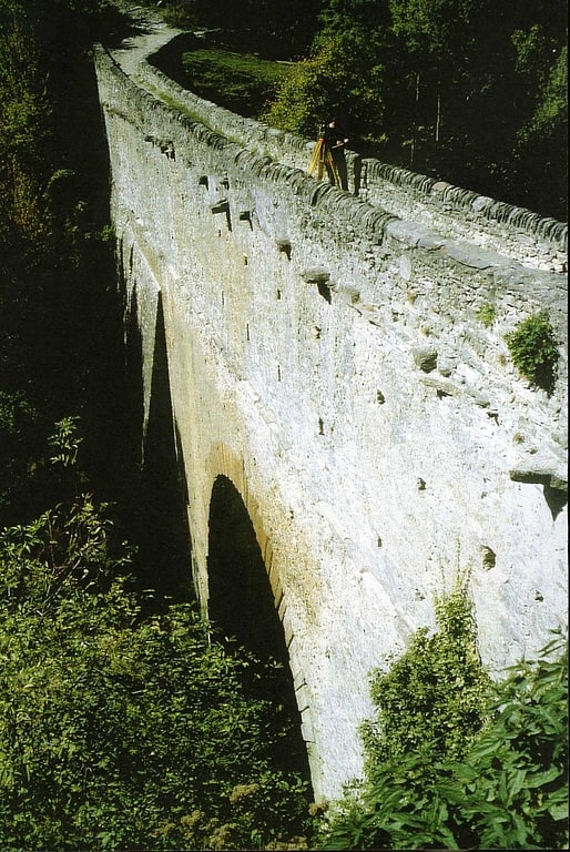
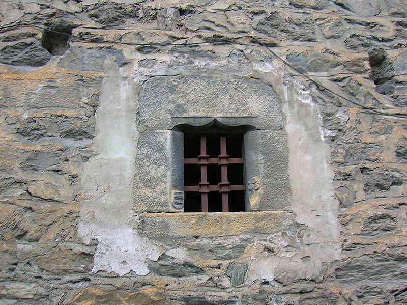
Castello Blonay

Gallery (4)
Map

Map
Gallery
Facts and practical information
Castello Blonay (address: Chemin des Chapelles) is a place located in Italy and belongs to the category of forts and castles.
It is situated at an altitude of 2507 feet, and its geographical coordinates are 45°42'30"N latitude and 7°8'27"E longitude.
Among other places and attractions worth visiting in the area are: Castello di Avise (forts and castles, 2 min walk), Castello La MotheArvier (forts and castles, 36 min walk), Castello di Introd (forts and castles, 65 min walk).
Coordinates: 45°42'30"N, 7°8'27"E
Location
Chemin des ChapellesAosta Valley
ContactAdd
Social media
Add
Day trips