Torre della Catena, Verona
Map

Map

Facts and practical information
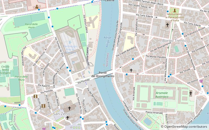
The Catena tower is a military building built during the 14th century on the bed of the Adige River as part of the Scaliger defense system of the city of Verona. The tower, now disused, is located between the Catena Bridge and the Risorgimento Bridge.
Coordinates: 45°26'42"N, 10°58'56"E
Address
Nord-Ovest (Borgo Trento)Verona
ContactAdd
Social media
Add
Day trips
Torre della Catena – popular in the area (distance from the attraction)
Nearby attractions include: Museo di Castelvecchio, Ponte Scaligero, Arco dei Gavi, San Procolo.
Frequently Asked Questions (FAQ)
Which popular attractions are close to Torre della Catena?
Nearby attractions include San Procolo, Verona (7 min walk), Basilica di San Zeno, Verona (9 min walk), Parco delle Mura, Verona (9 min walk), Ponte Scaligero, Verona (11 min walk).
How to get to Torre della Catena by public transport?
The nearest stations to Torre della Catena:
Bus
Train
Bus
- Viale della Repubblica 49 I • Lines: 61 (3 min walk)
- Via del Risorgimento, 32 • Lines: 61 (3 min walk)
Train
- Verona Porta Nuova (29 min walk)


