Piz Glüschaint
#807 among destinations in Italy
![Piz Glüschaint location map](https://tzmedia.b-cdn.net/media/images/static-maps/it/46_3625_9_84008.jpg)
Facts and practical information
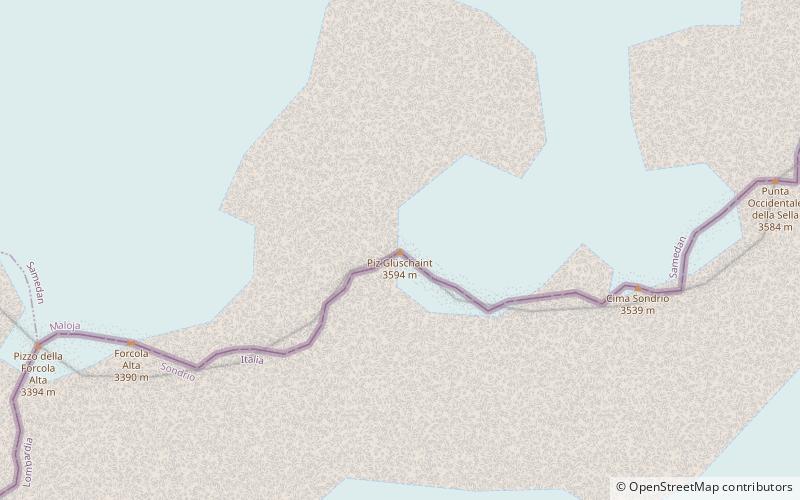
Piz Glüschaint is a mountain of the Bernina Range, on the border between Italy and Switzerland. It lies between the Val Roseg and the Val Malenco. On its northern side is the Roseg Glacier. ()
LombardyItaly
Piz Glüschaint plan & book
Unleash the traveler in you — discover the cheapest flight deals, find the perfect hotel or hostel nearby, and search for the best car rental prices. Travel at your own pace to discover new places and enjoy your journey.
Piz Glüschaint – popular in the area (distance from the attraction)
Nearby attractions include: Rifugio Cristina, Bellavista Mountain, Piz Zupò, Piz Scerscen.
7.5 miSEAlpine hut, HikingRifugio Cristina
191 min walk • Cristina Refuge is an alpine refuge located at 2,287 m above sea level in the Valmalenco area, in the municipality of Lanzada.
4.5 miENature, Natural attraction, MountainBellavista Mountain
114 min walk • Bellavista is a mountain in the Bernina Range in Switzerland and Italy. The mountain is bounded on the east by the Fuorcla Bellavista and on the west by the Pass dal Zupò.
4.4 miENature, Natural attraction, MountainPiz Zupò
112 min walk • Piz Zupò is a mountain in the Bernina Range of the Alps, located on the border between Switzerland and Italy. It lies between the valleys of Morteratsch and Malenco. Piz Zupò is the second highest peak in the range after Piz Bernina.
3.1 miENature, Natural attraction, MountainPiz Scerscen
79 min walk • Piz Scerscen, culminating at 3,971 m above sea level, is one of the highest peaks in the Bernina Range, straddling the border between Switzerland and Italy. It is a satellite peak of Piz Bernina, joining it by its north-east ridge via a 3,882 m pass. Its name means 'the circular mountain'.
3.4 miENature, Natural attraction, MountainLa Spedla
88 min walk • La Spedla is a minor summit south of Piz Bernina on the border between Italy and Switzerland. With a height of 4,020 metres above sea level, it is the highest summit on the Italian side of the Bernina Range and the highest summit in Lombardy.
4.1 miENature, Natural attraction, MountainPiz Argient
105 min walk • Piz Argient is a mountain in the Bernina Range of the Alps on the border between Italy and the Swiss canton of Graubünden. The peak is bounded to the north by the Morteratsch Glacier, to the west by the Upper Scerscen Glacier, and to the south and east by the Fellaria Glacier.
3.5 miENature, Natural attraction, Natural featureBernina Range
91 min walk • The Bernina Range is a mountain range in the Alps of eastern Switzerland and northern Italy. It is considered to be part of the Rhaetian Alps within the Central Eastern Alps. It is one of the highest ranges of the Alps, covered with many glaciers.
3.4 miENature, Natural attraction, MountainCrast' Agüzza
88 min walk • Crast' Agüzza is a mountain in the Bernina Range in Italy and Switzerland. The peak is bounded to the north by the Morteratsch Glacier and to the south by the Upper Scerscen Glacier.
3.4 miEAlpine hut, HikingRefuge Marinelli Bombardieri
86 min walk • Refuge Marinelli Bombardieri is a refuge in the Alps.
3.7 miSE 2.4 miSWAlpine hut, HikingRif. Antonio ed Elia Longoni
62 min walk • The Antonio and Elia Longoni Refuge is a refuge located in the municipality of Chiesa in Valmalenco, in the Malenco Valley, positioned on the southern slope of the Bernina range, at 2,450 m above sea level.