Porto di Licata, Licata
Map

Gallery

Facts and practical information
The port of Licata is a commercial and fishing port facility serving the southwestern area of Sicily.
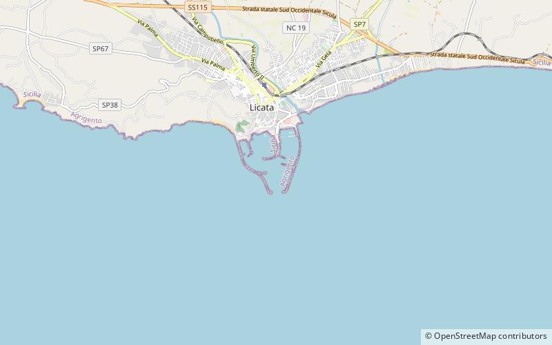
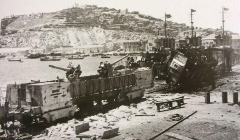
The port is located on the sandy coast overlooking the town of Licata, at the mouth of the Salso River, at coordinates Lat. 37°05' 17 N - Long. 13°56' 53 E; it was a seaport since ancient times. The port was the subject of the events of arms relating to the Anglo-American Allied Landing in Sicily in July 1943. The nearest port calls are: to the west Porto Empedocle and to the east the Port of Gela
Coordinates: 37°5'19"N, 13°56'28"E
Address
Licata
ContactAdd
Social media
Add
Day trips
Porto di Licata – popular in the area (distance from the attraction)
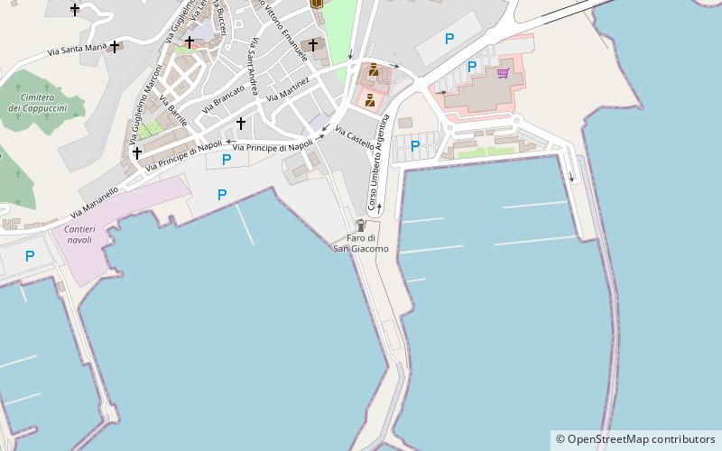
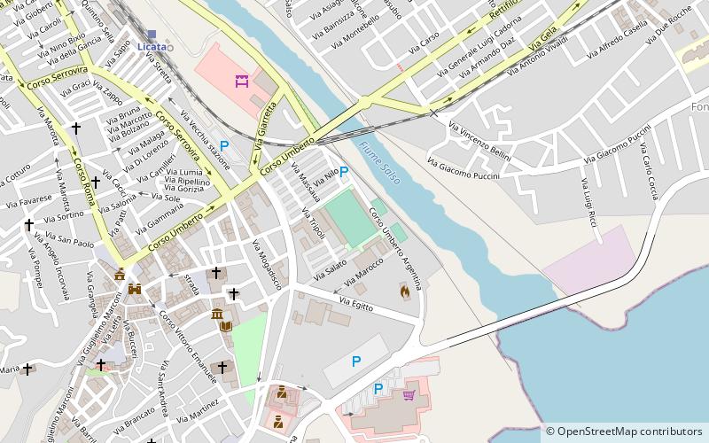
Nearby attractions include: San Giacomo Lighthouse, Castel Sant'Angelo, Basilica Sant'Angelo, Stadio Dino Liotta.
Frequently Asked Questions (FAQ)
Which popular attractions are close to Porto di Licata?
Nearby attractions include San Giacomo Lighthouse, Licata (14 min walk), Basilica Sant'Angelo, Licata (23 min walk).


