Rocca di Staggia
Map

Gallery

Facts and practical information
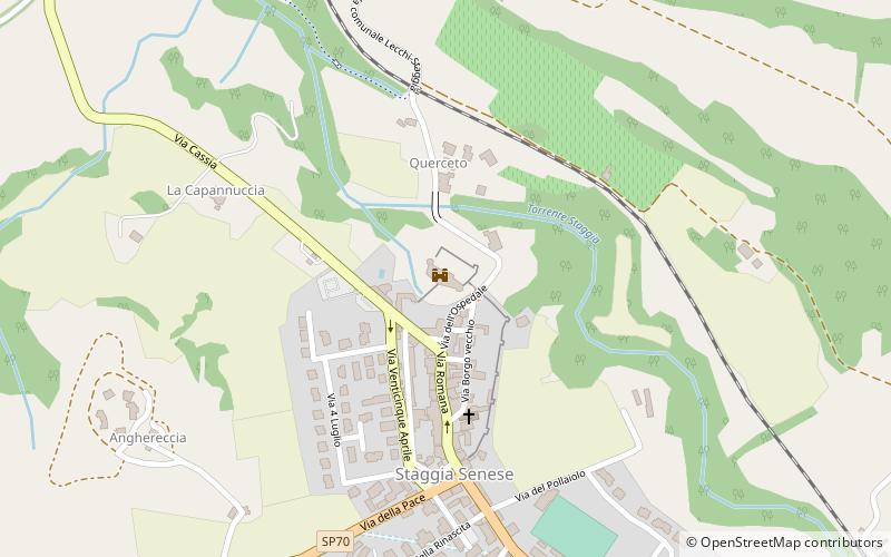
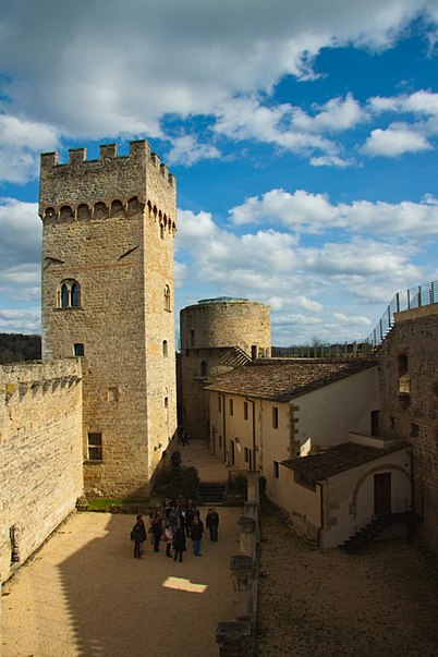
Rocca di Staggia (address: Via Dell'Ospedale 2) is a place located in Italy and belongs to the category of forts and castles.
It is situated at an altitude of 525 feet, and its geographical coordinates are 43°25'30"N latitude and 11°10'56"E longitude.
Among other places and attractions worth visiting in the area are: Casa Vinicola BartaliMonteriggioni (winery, 43 min walk), Chiesa di San Giovanni in JerusalemPoggibonsi (church, 64 min walk), Castello della MagionePoggibonsi (forts and castles, 65 min walk).
Coordinates: 43°25'30"N, 11°10'56"E
Day trips
Rocca di Staggia – popular in the area (distance from the attraction)
Nearby attractions include: Castello della Magione, Colle di Val d'Elsa Cathedral, Chiesa di San Pietro a Cedda, Romituzzo <3.


