Chiesa di Sant'Angelo, Treviso
Map
Map

Facts and practical information
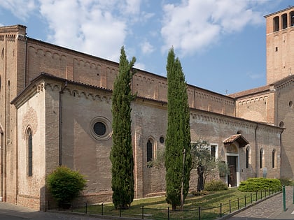
The church of Sant'Angelo is the main Catholic place of worship in the hamlet of the same name in Treviso, and its parish church.
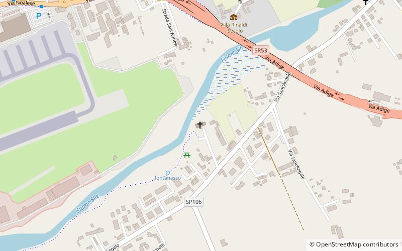
Named after Archangel Michael, the building stands southeast of the historic center on the right bank of the Sile River.
Coordinates: 45°39'6"N, 12°12'45"E
Day trips
Chiesa di Sant'Angelo – popular in the area (distance from the attraction)
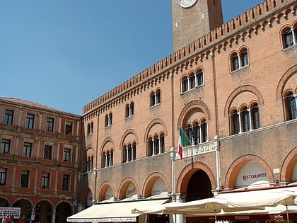
Nearby attractions include: Stadio Monigo, Stadio Omobono Tenni, Palazzo dei Trecento, Teatro Mario Del Monaco.
Frequently Asked Questions (FAQ)
How to get to Chiesa di Sant'Angelo by public transport?
The nearest stations to Chiesa di Sant'Angelo:
Bus
Bus
- Treviso Aeroporto, Parking E • Lines: K803 (16 min walk)


