Acquedotto medievale di Salerno, Salerno
Map

Map

Facts and practical information
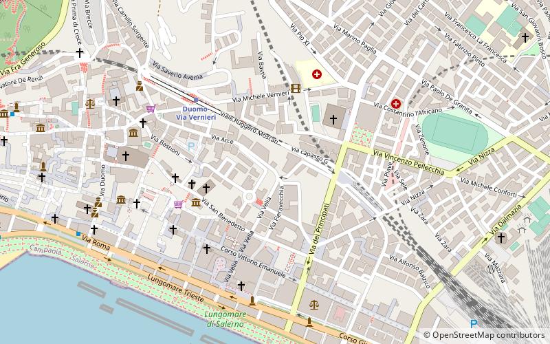
Salerno's medieval aqueduct was erected in the 9th century to supply water to the monastery of St. Benedict near the eastern walls. It is located in the historic center of Salerno, under Bonadies Hill and its Arechi Castle.
Coordinates: 40°40'47"N, 14°45'53"E
Address
Via ArceSalerno 84122
ContactAdd
Social media
Add
Day trips
Acquedotto medievale di Salerno – popular in the area (distance from the attraction)
Nearby attractions include: Giardino della Minerva, Salerno Cathedral, Museo Roberto Papi, Museo Archeologico Provinciale.
Frequently Asked Questions (FAQ)
Which popular attractions are close to Acquedotto medievale di Salerno?
Nearby attractions include Chiesa di San Pietro in Vinculis, Salerno (5 min walk), Piazza Flavio Gioia, Salerno (5 min walk), Church of the Santissimo Crocifisso, Salerno (5 min walk), Palazzo Di Giustizia, Salerno (6 min walk).
How to get to Acquedotto medievale di Salerno by public transport?
The nearest stations to Acquedotto medievale di Salerno:
Train
Bus
Train
- Duomo-Via Vernieri (5 min walk)
- Salerno (13 min walk)
Bus
- Salerno, Piazza Montpellier • Lines: N1586 (17 min walk)
- Terminal Bus Vinciprova (19 min walk)


