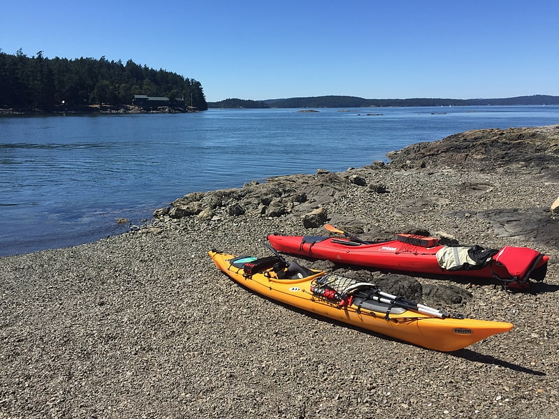
Massa Lubrense Sea Kayak, Massa Lubrense
Gallery (1)
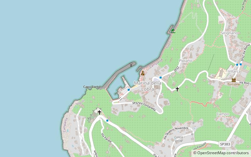
Map
Map
Facts and practical information
Massa Lubrense Sea Kayak (address: Porto Marina della Lobra) is a place located in Massa Lubrense (Campania region) and belongs to the category of sailing, boat tours, fishing charters and tours.
It is situated at an altitude of 10 feet, and its geographical coordinates are 40°36'32"N latitude and 14°20'2"E longitude.
Among other places and attractions worth visiting in the area are: Sorrento Cathedral, Sorrento (sacred and religious sites, 60 min walk), Piazza Tasso, Sorrento (square, 64 min walk), Vallone dei Mulini, Sorrento (historic walking areas, 64 min walk).
Coordinates: 40°36'32"N, 14°20'2"E
Day trips


Frequently Asked Questions (FAQ)
When is Massa Lubrense Sea Kayak open?
Massa Lubrense Sea Kayak is open:
- Monday 24h
- Tuesday 24h
- Wednesday 24h
- Thursday 24h
- Friday 24h
- Saturday 24h
- Sunday 24h