Turro, Milan

Map
Facts and practical information
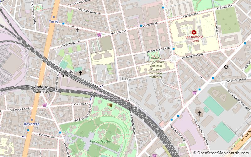
Turro is a district of Milan, Italy, part of the Zone 2 administrative division, located north-east of the city centre. Before being annexed to Milan in 1918, it was an autonomous comune. The name derives from tur, the Lombard word for "tower". The Milan Metro subway has a stop at Turro. ()
Address
Zona 2 (Padova)Milan
ContactAdd
Social media
Add
Day trips
Turro – popular in the area (distance from the attraction)
Nearby attractions include: Corso Buenos Aires, Memoriale della Shoah, Centro Sociale Leoncavallo, Piazza Duca d'Aosta.
Frequently Asked Questions (FAQ)
Which popular attractions are close to Turro?
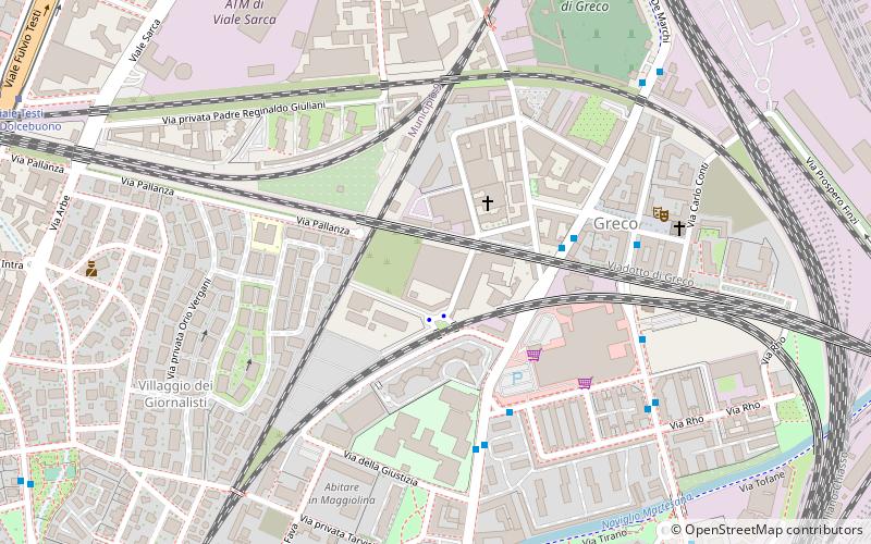
Nearby attractions include Gorla, Milan (14 min walk), Giardino Cassina de' Pomm, Milan (20 min walk), Greco, Milan (20 min walk), Museo Fermo Immagine, Milan (22 min walk).
How to get to Turro by public transport?
The nearest stations to Turro:
Bus
Metro
Tram
Train
Trolleybus
Bus
- Quartiere Turro • Lines: 44 (5 min walk)
- Via Padova - Via Esterle • Lines: 56, 56/ (6 min walk)
Metro
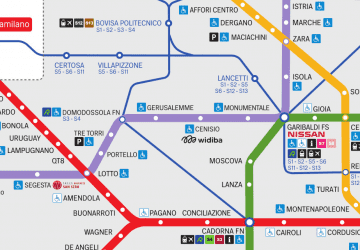
- Turro • Lines: M1 (8 min walk)
- Rovereto • Lines: M1 (9 min walk)
Tram
- Greco Rovereto • Lines: 1 (13 min walk)
- Piazza Morbegno • Lines: 1 (15 min walk)
Train
- Cimiano (20 min walk)
- Milano Lambrate (27 min walk)
Trolleybus
- Loreto M1 M2 • Lines: 91 (27 min walk)
- Piazzale Loreto - Via Pergolesi • Lines: 92 (30 min walk)
 Metro
Metro


