Portello, Milan
Map

Map

Facts and practical information
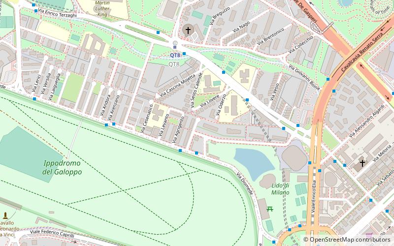
Portello is a district of Milan, Italy, part of the Zone 8 administrative division of the city, located north-west of the centre. It is best known as a car-manufacturing area, as it used to house facilities of Alfa Romeo, Darracq, Citroën, and Fiat. The district also includes one of the major shopping malls in north-western Milan. It is crossed by the Circonvallazione ring road. Portello is adjacent to the new CityLife district. ()
Address
Zona 8 (QT8)Milan
ContactAdd
Social media
Add
Day trips
Portello – popular in the area (distance from the attraction)
Nearby attractions include: San Siro, Velodromo Vigorelli, Casa di Riposo per Musicisti, Monte Stella.
Frequently Asked Questions (FAQ)
Which popular attractions are close to Portello?
Nearby attractions include Leonardo's horse, Milan (12 min walk), Monte Stella, Milan (13 min walk), San Siro, Milan (17 min walk), San Siro, Milan (22 min walk).
How to get to Portello by public transport?
The nearest stations to Portello:
Bus
Metro
Tram
Trolleybus
Train
Bus
- Via Diomede - Via Cassino • Lines: 78 (2 min walk)
- Via Salmoiraghi - Via Montichiari • Lines: 68 (3 min walk)
Metro
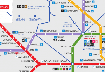
- Qt8 • Lines: M1 (5 min walk)
- Lotto • Lines: M1, M5 (11 min walk)
Tram
- Segesta M5 • Lines: 16 (15 min walk)
- Piazzale Segesta • Lines: 16 (15 min walk)
Trolleybus
- Via Mac Mahon - Viale Monte Ceneri • Lines: 91 (30 min walk)
Train
- Milano Nord Domodossola (31 min walk)

 Metro
Metro


