Monte Fumai, National Park of the Gulf of Orosei and Gennargentu

Gallery (1)
Map
Map
Facts and practical information
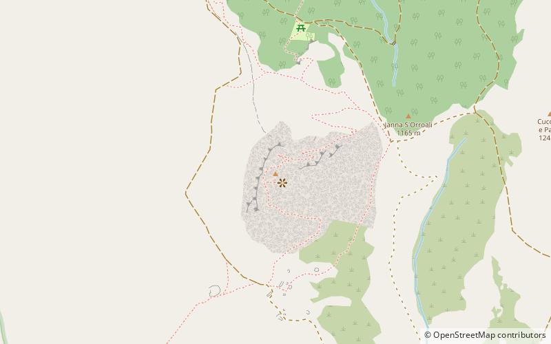
Mt. Fumai is a 1316-meter-high relief located in the territory of Orgosolo, in central-eastern Sardinia. After Mount Corrasi, which is 1463 meters high, and Punta Sa Pruna, it is the highest peak in the Supramonte.
Coordinates: 40°6'28"N, 9°24'1"E
Address
National Park of the Gulf of Orosei and Gennargentu
ContactAdd
Social media
Add
Day trips
Monte Fumai – popular in the area (distance from the attraction)
Nearby attractions include: Nuragic sanctuary of Gremanu.
