Rifugio Furio Bianchet, Dolomites

Gallery (2)
Map
Map
Gallery
Facts and practical information
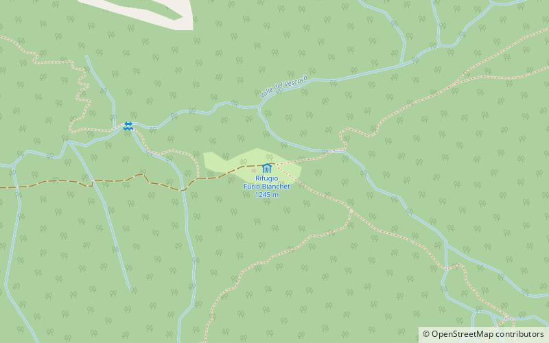
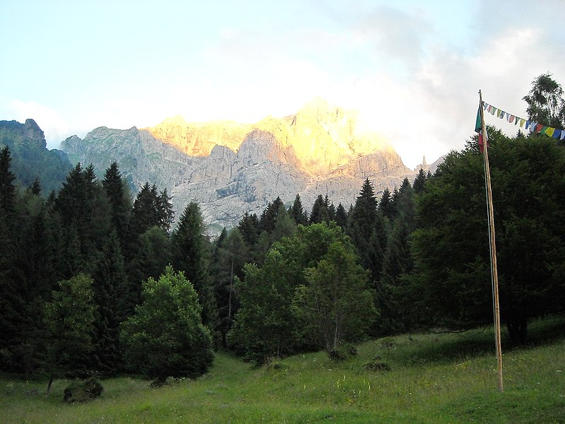
The Furio Bianchet refuge is a refuge located in the municipality of Sedico, in the province of Belluno, at Pian dei Gat in the Dolomites, 1,250 m above sea level. Alta via n.1 passes through it as a last stop for hikers who do not do the Marmol ferrata, or are unable to do it due to bad weather.
Coordinates: 46°14'36"N, 12°9'41"E
Address
Dolomites
ContactAdd
Social media
Add
Day trips


