Rifugio Piero Garelli
Map

Gallery

Facts and practical information
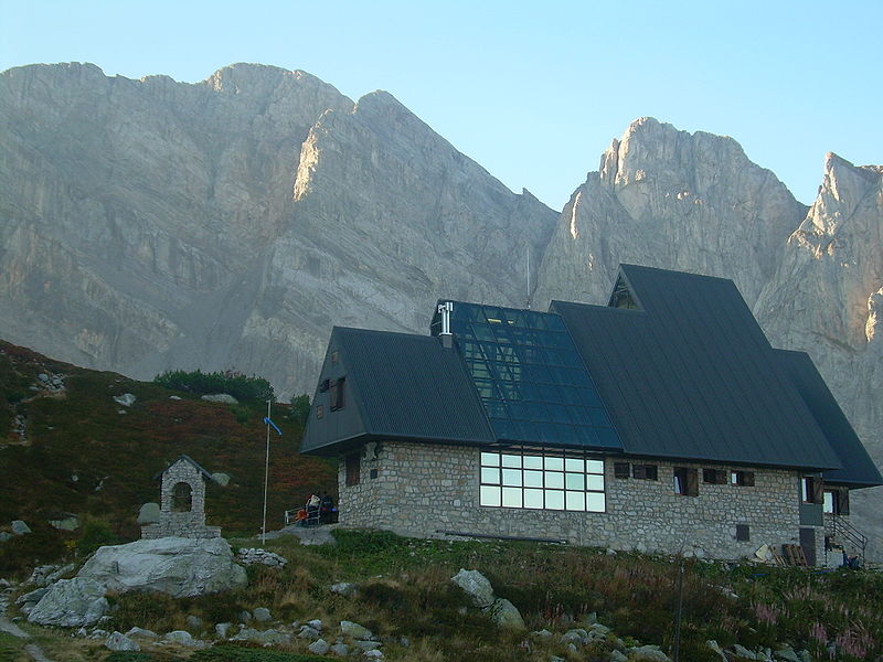
The Piero Garelli refuge is a refuge located at an altitude of 1990 meters in the Marguareis Alps range and falling within the municipality of Chiusa di Pesio.
Coordinates: 44°11'19"N, 7°41'16"E
Day trips
Rifugio Piero Garelli – popular in the area (distance from the attraction)
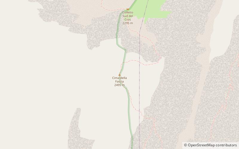
Nearby attractions include: Prato Nevoso, Cima della Fascia, Colletto Fava, Cima di Pertegà.


