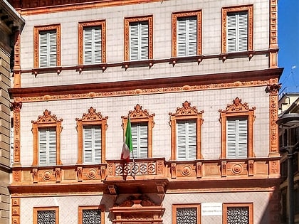
Corso Vittorio Emanuele II, Milan
Map
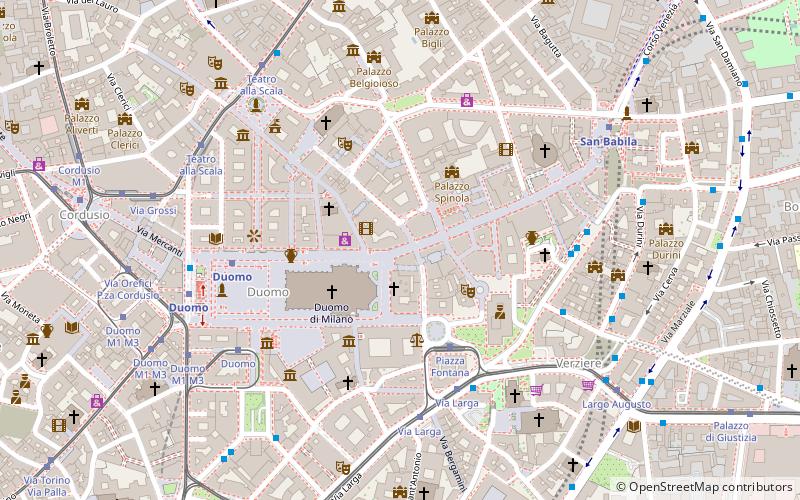
Map

Facts and practical information
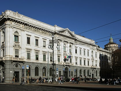
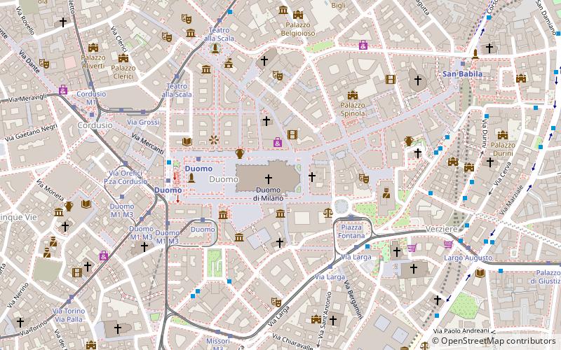
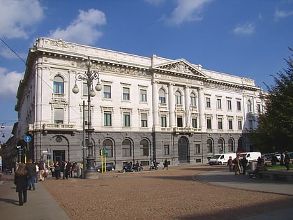
Corso Vittorio Emanuele II, formerly corsia dei Servi, is one of the most important streets in downtown Milan. It connects Piazza del Duomo to Piazza San Babila. It is part of a large pedestrian area. Numerous stores of international brands open there, making it one of the city's main shopping centers.
Day trips
Corso Vittorio Emanuele II – popular in the area (distance from the attraction)
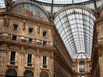
Nearby attractions include: Milan Cathedral, Galleria Vittorio Emanuele II, Gallerie d'Italia, Piazza del Duomo.
Frequently Asked Questions (FAQ)
Which popular attractions are close to Corso Vittorio Emanuele II?
Nearby attractions include Palazzo Tarsis, Milan (2 min walk), Basilica vetus, Milan (2 min walk), Madonnina Statue, Milan (2 min walk), Milan Cathedral, Milan (3 min walk).
How to get to Corso Vittorio Emanuele II by public transport?
The nearest stations to Corso Vittorio Emanuele II:
Tram
Bus
Metro
Train
Trolleybus
Tram
- Piazza Fontana • Lines: 24, 27 (3 min walk)
- Via Larga • Lines: 12, 19, 24 (5 min walk)
Bus
- Via Larga • Lines: 54, 73, 73/, Nm3 (5 min walk)
- L.go Augusto • Lines: 54 (5 min walk)
Metro
- Duomo • Lines: M1, M3 (5 min walk)
- San Babila • Lines: M1 (7 min walk)
Train
- Milano Nord Cadorna (23 min walk)
- Milano Porta Venezia (28 min walk)
Trolleybus
- Viale Piceno - Via Archimede • Lines: 92 (30 min walk)
- Dateo • Lines: 92 (31 min walk)

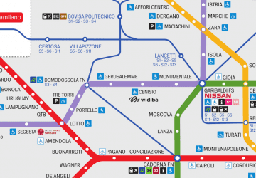 Metro
Metro
