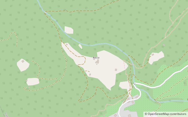
Rocca di Samoclevo, Caldes
Map

Map

Facts and practical information
The Rocca di Samoclevo is a now ruined medieval castle located on the slopes of Mount Vesa at 983 m above sea level above the village of Samoclevo, a hamlet of the municipality of Caldes in the province of Trento.
Coordinates: 46°22'25"N, 10°56'21"E
Address
Caldes
ContactAdd
Social media
Add
Day trips
Rocca di Samoclevo – popular in the area (distance from the attraction)
Nearby attractions include: Lago di Santa Giustina, Non Valley, Croviana, Flying Park.


