Monte Orsaro, Appennino Tosco-Emiliano National Park
Map

Map

Facts and practical information
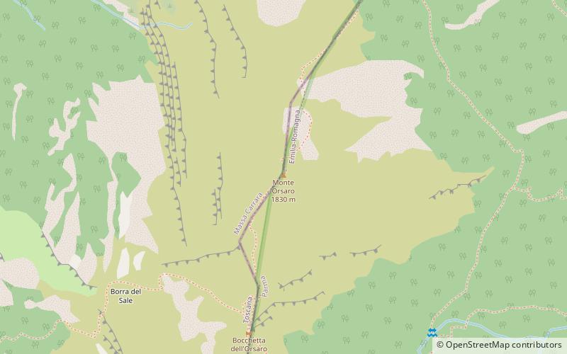
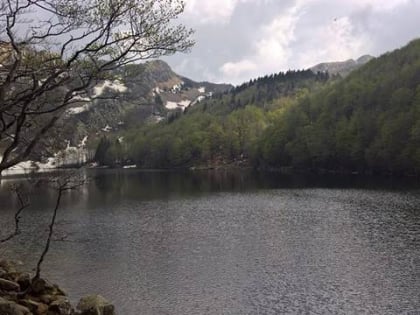
Mount Orsaro is a mountain in the Tuscan-Emilian Apennines, 1,831 m above sea level. The name would seem to derive from the presence of bears on that stretch of the Apennines since the mid-17th century; local chronicles relate that the last bear was captured and killed in the late 17th century.
Coordinates: 44°24'36"N, 9°59'31"E
Address
Appennino Tosco-Emiliano National Park
ContactAdd
Social media
Add
Day trips
Monte Orsaro – popular in the area (distance from the attraction)
Nearby attractions include: Santo Lake, Monte Marmagna, Rifugio Mariotti, Monte Braiola.
Frequently Asked Questions (FAQ)
Which popular attractions are close to Monte Orsaro?
Nearby attractions include Monte Braiola, Appennino Tosco-Emiliano National Park (11 min walk), Rifugio Mariotti, Corniglio (21 min walk), Monte Marmagna, Appennino Tosco-Emiliano National Park (24 min walk), Santo Lake, Corniglio (24 min walk).


