Eremo di San Michele Arcangelo

Gallery (1)
Map
Map
Facts and practical information
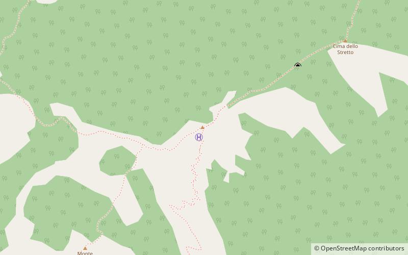
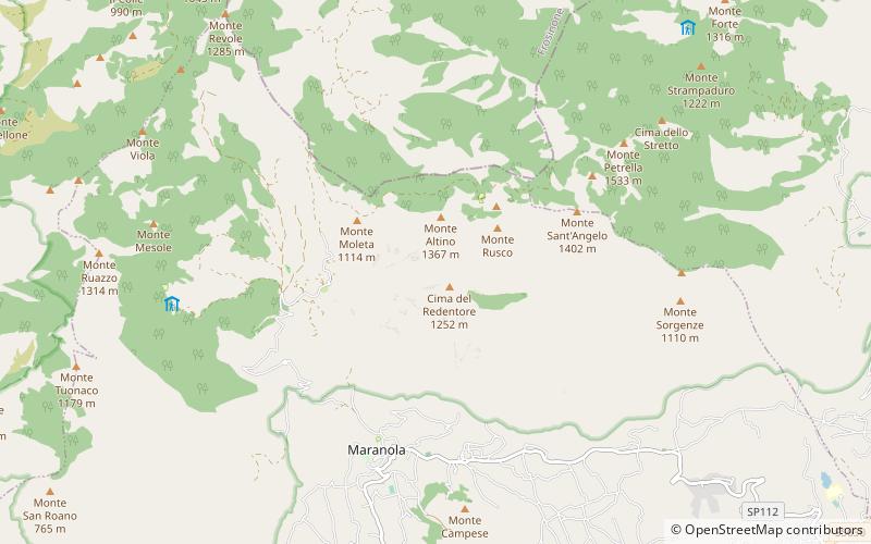
The hermitage of St. Michael the Archangel is a small church located on the slopes of Mount Altino, which belongs to the Aurunci mountain range, at 1220 m above sea level in the territory of Maranola
Set in rock, it is located along the path from Sella Sola to the summit of Redeemer, on a sheer ridge.
Coordinates: 41°18'25"N, 13°38'10"E
Day trips