Rifugio Duca D'Aosta, Cortina d'Ampezzo
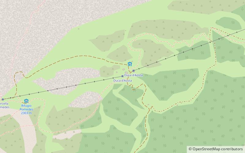
Map

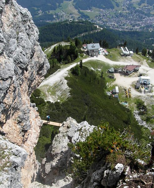
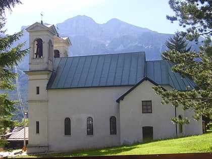
Gallery

Facts and practical information
The Duca d'Aosta refuge is a refuge located in the municipality of Cortina d'Ampezzo, it stands at the base of the Tofane Mountains.
Coordinates: 46°32'15"N, 12°5'4"E
Day trips
Rifugio Duca D'Aosta – popular in the area (distance from the attraction)
Nearby attractions include: Stadio Olimpico Del Ghiaccio, Pocol, Cinque Torri, Mario Rimoldi Modern Art Museum.
Frequently Asked Questions (FAQ)
How to get to Rifugio Duca D'Aosta by public transport?
The nearest stations to Rifugio Duca D'Aosta:
Bus
Bus
- Cason dei Caai • Lines: 1/3/30/31, 30/31, 30Skibus (29 min walk)
- Son Dei Prade • Lines: 1/3/30/31, 30/31, 30Skibus, 72 (32 min walk)


