Nature, Natural attraction, Mountain, Top attraction
Gallery (1)
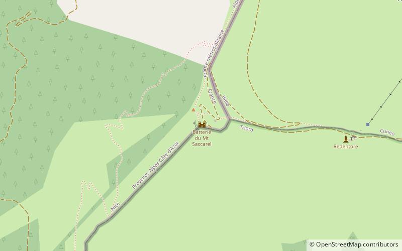
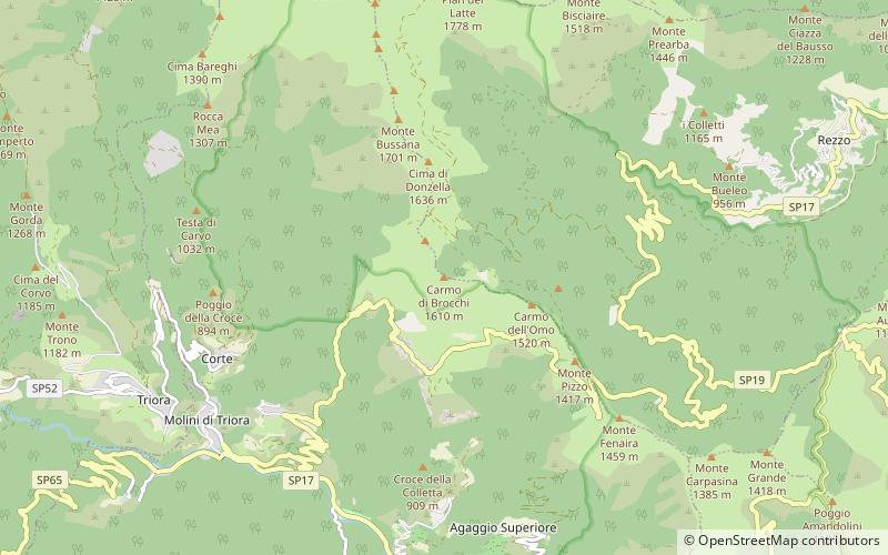
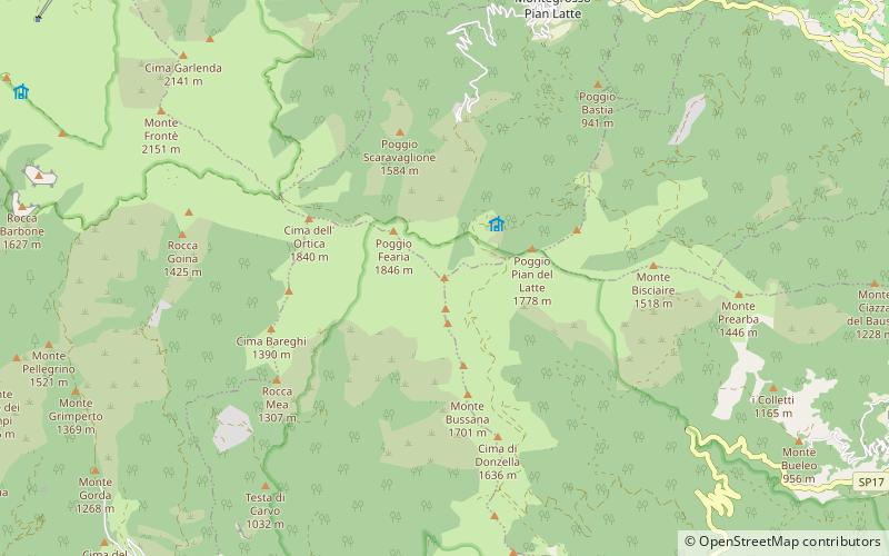
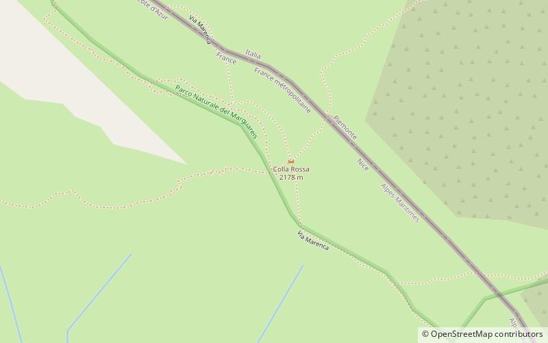
Map
Map
Photo details 1. Wikipedia / Public Domain / Jk4u59 / URL
Facts and practical information
Monte Saccarello or Mont Saccarel is a mountain located on the French-Italian border between Liguria, Piedmont and Provence-Alpes-Côte d'Azur. ()
Alternative names: Elevation: 7221 ftProminence: 541 ftCoordinates: 44°3'41"N, 7°42'44"E
Location
LiguriaItaly
ContactAdd
Social media
Add
Local time:00:00
Weather:
Public Transportation
Monte SaccarelloAirportsMonte SaccarelloBus stationsMonte SaccarelloRailway stations
Monte Saccarello plan & book
Unleash the traveler in you — discover the cheapest flight deals, find the perfect hotel or hostel nearby, and search for the best car rental prices. Travel at your own pace to discover new places and enjoy your journey.