Rifugio Nani Tagliaferri

Gallery (1)
Map
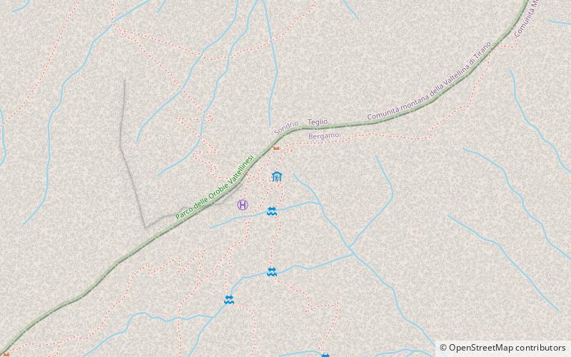
Map
Facts and practical information
The Nani Tagliaferri refuge is a refuge in the Orobian Alps located in the municipality of Schilpario, in the Scalve valley, at an elevation of 2,328 m.
Coordinates: 46°3'19"N, 10°6'53"E
Day trips