The Leper's Tower, Aosta
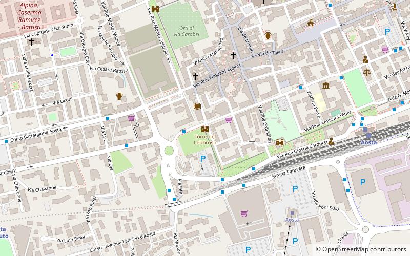
Map
Facts and practical information
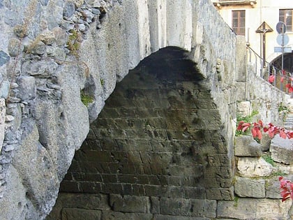
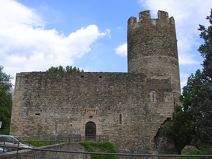
The Leper's Tower is a tower located at the north-west corner of the Roman wall of Aosta, on the rue Jean-Boniface Festaz. ()
Coordinates: 45°44'4"N, 7°18'56"E
Address
Aosta
ContactAdd
Social media
Add
Day trips
The Leper's Tower – popular in the area (distance from the attraction)
Nearby attractions include: Aosta Cathedral, Collegiate church of Saint Ursus, Arch of Augustus, Piazza Émile Chanoux.
Frequently Asked Questions (FAQ)
Which popular attractions are close to The Leper's Tower?
Nearby attractions include Rue Tour du Lepreux / Via Torre del Lebbroso, Aosta (1 min walk), Biblioteca Regionale, Aosta (2 min walk), Castello di Bramafam, Aosta (4 min walk), Aosta Cathedral, Aosta (8 min walk).
How to get to The Leper's Tower by public transport?
The nearest stations to The Leper's Tower:
Bus
Train
Bus
- Via Festaz Torre del Lebbroso • Lines: 2, Nv (2 min walk)
- Via Carducci • Lines: 1, 2, 4, Nv (3 min walk)
Train
- Aosta (9 min walk)
- Aosta Istituto (12 min walk)


