Monte Granero
#558 among destinations in Italy
![Monte Granero location map](https://tzmedia.b-cdn.net/media/images/static-maps/it/44_7168_7_06754.jpg)
Facts and practical information
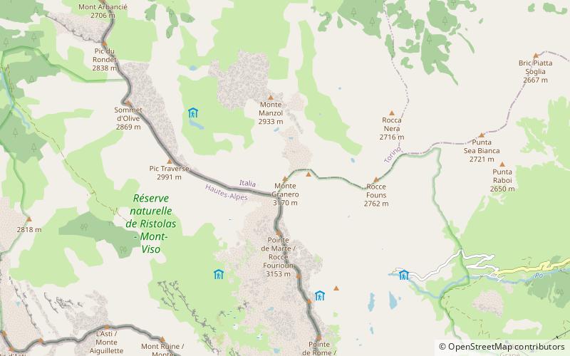
PiedmontItaly
Monte Granero plan & book
Unleash the traveler in you — discover the cheapest flight deals, find the perfect hotel or hostel nearby, and search for the best car rental prices. Travel at your own pace to discover new places and enjoy your journey.
Monte Granero – popular in the area (distance from the attraction)
Nearby attractions include: Monte Meidassa, Cottian Alps, Col de la Traversette, Punta Udine.
~1460 ftENatural attraction, MountainMonte Meidassa, Monte Viso
8 min walk • Monte Meidassa is a peak in the Cottian Alps, in western Piedmont, northern Italy. The slightly higher Monte Granero is located nearby.
5.1 miSNatural attraction, Natural featureCottian Alps, Monte Viso
130 min walk • The Cottian Alps are a mountain range in the southwestern part of the Alps. They form the border between France and Italy. The Fréjus Road Tunnel and Fréjus Rail Tunnel between Modane and Susa are important transportation arteries between France and Italy.
0.4 miSNatural attraction, Mountain passCol de la Traversette, Monte Viso
12 min walk • The Col de la Traversette is a bridle pass with an altitude of 2,947 m in the Cottian Alps. Located between Crissolo and Abriès, it lies on the border between Italy and France and separates the Monviso from the Monte Granero.
1.5 miSNatural attraction, MountainPunta Udine, Monte Viso
38 min walk • Punta Udine - a peak in the Kotyan Alps, parts of the Western Alps. It lies on the border between Italy and France. He is adjacent to Punta Venezia and Punta Roma.
3.7 miSNatural attraction, MountainViso di Vallanta, Monte Viso
95 min walk • Viso di Vallanta or Dado di Viso, as well as Dado di Vallanta - a peak in the Kotyan Alps, parts of Western Alps. It lies in the northwestern Italy in the Piedmont region, close to the border with France. The peak can be conquered along the roads from the shelters: Bivacco Berardo, Bivacco Boarelli, Rifugio Alevè and above all from Rifugio Vallanta.
3.9 miSNatural attraction, MountainPunta Tre Chiosis, Monte Viso
101 min walk • Punta Tre Chiosis is a mountain in the Cottian Alps, rising in the municipality of Pontechianale in the upper Varaita Valley.
3.2 miSNatural attraction, MountainCadreghe di Viso, Monte Viso
81 min walk • The Cadreghe di Viso are a group of five rocky spires located between Monviso and Visolotto. They are located in the province of Cuneo between the Po Valley and the Varaita Valley.
5.4 miSENatural attraction, MountainPunta Trento, Monte Viso
139 min walk • The Trento tip is a mountain of the Cozie Alps chain, 2970 m high.
3.6 miSENatural attraction, MountainViso Mozzo, Monte Viso
92 min walk • The Viso Mozzo is a 3,019 metres high mountain on the Italian side of the Cottian Alps.
1.9 miSNatural attraction, MountainPunta Roma, Monte Viso
49 min walk • Punta Roma - a peak in the Kotyan Alps, parts of the Western Alps. It lies on the border between Italy and France. The peak can be conquered by roads from the Rifugio Vitale Giacoletti hostel. He is adjacent to Punta Udine and Punta Gastaldi. The first entry was made by Ubald Valbus and Claudio Perotti on August 29, 1905.
3 miSNatural attraction, MountainVisolotto, Monte Viso
77 min walk • Visolotto - a peak in the Kotyan Alps, parts of the Western Alps. It lies in the northwestern Italy in the Piedmont region, close to the border with France. The mountain has three vertices: western - Picco Lanino, central - Picco Coolidge and East - Picco Montaldo.