Golf Club Lamborghini, Panicale
Map

Map

Facts and practical information
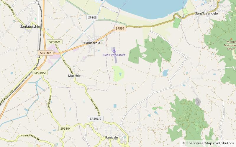
Golf Club Lamborghini (address: Localita Soderi Panicarola 1) is a place located in Panicale (Umbria region) and belongs to the category of outdoor activities, golf.
It is situated at an altitude of 899 feet, and its geographical coordinates are 43°3'23"N latitude and 12°6'8"E longitude.
Among other places and attractions worth visiting in the area are: Paciano (locality, 75 min walk), Isola Polvese, Lake Trasimeno (island, 117 min walk), Rocca del Leone, Castiglione del Lago (forts and castles, 139 min walk).
Coordinates: 43°3'23"N, 12°6'8"E
Day trips
Golf Club Lamborghini – popular in the area (distance from the attraction)
Nearby attractions include: Palazzo della Corgna, Rocca del Leone, Church of San Domenico, St. Mary Magdalene Church.


