Church of San Salvatore, Iglesias
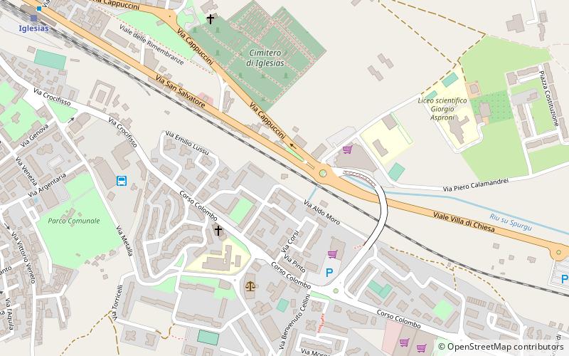
Map

Map

Facts and practical information
The Church of Christ the Savior is a Byzantine-era religious building located on the outskirts of Iglesias. The plan of the church is cruciform, similar to the coeval church of Santa Croce in Ittireddu.
Local name: Chiesa di San SalvatoreCoordinates: 39°18'24"N, 8°32'51"E
Address
Iglesias
ContactAdd
Social media
Add
Day trips
Church of San Salvatore – popular in the area (distance from the attraction)
Nearby attractions include: Parco Associazione Mineraria Sarda, Giardino Montano Linasia, Cattedrale Santa Chiara, Chiesa San Francesco.
Frequently Asked Questions (FAQ)
Which popular attractions are close to Church of San Salvatore?
Nearby attractions include Chiesa di Nostra Signora di Valverde, Iglesias (8 min walk), Castello Salvaterra, Iglesias (22 min walk), Parco Associazione Mineraria Sarda, Iglesias (23 min walk), Chiesa San Francesco, Iglesias (23 min walk).


