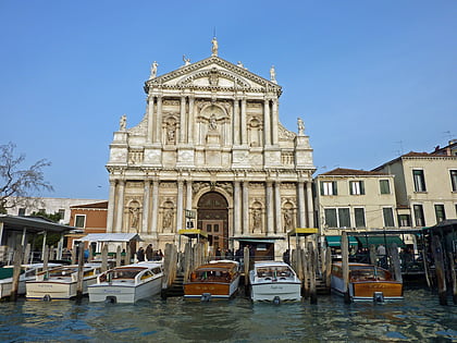
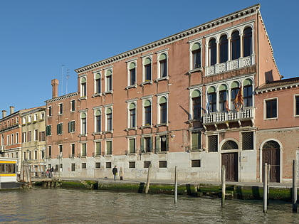
Santa Croce, Venice
Map
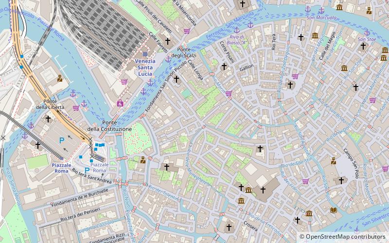
Map

Facts and practical information
Santa Croce is one of the six sestieri of Venice, northern Italy. ()
Address
Santa CroceVenice
ContactAdd
Social media
Add
Day trips
Santa Croce – popular in the area (distance from the attraction)
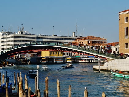
Nearby attractions include: Palazzo Adoldo, Santa Maria Gloriosa dei Frari, Palazzo Soranzo Cappello, Ponte degli Scalzi.
Frequently Asked Questions (FAQ)
Which popular attractions are close to Santa Croce?
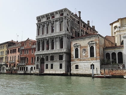
Nearby attractions include Palazzo Soranzo Cappello, Venice (2 min walk), Palazzo Emo Diedo, Venice (3 min walk), San Simeone Piccolo, Venice (3 min walk), Tolentini, Venice (3 min walk).
How to get to Santa Croce by public transport?
The nearest stations to Santa Croce:
Ferry
Train
Bus
Tram
Ferry
- Ferrovia E • Lines: 1, 1/ (4 min walk)
- Ferrovia C • Lines: 2 (4 min walk)
Train
- Venezia Santa Lucia (5 min walk)
- Piazzale Roma (8 min walk)
Bus
- Venezia A1 • Lines: 5 (6 min walk)
- Venezia A2 • Lines: 6, 7, 7E, 7L (6 min walk)
Tram
- Piazzale Roma • Lines: T1 (6 min walk)


