Castello di Montebello, Torriana
Map

Map

Facts and practical information
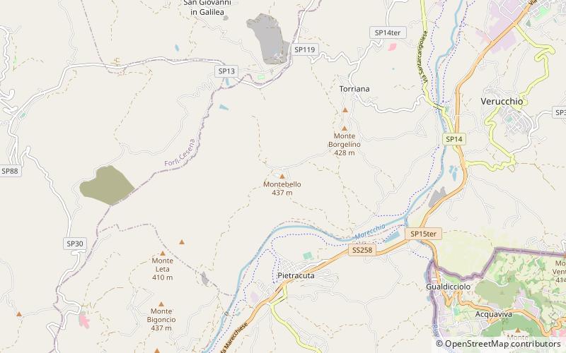
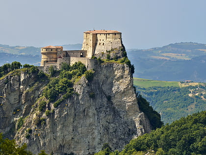
Castello di Montebello is a place located in Torriana (Emilia-Romagna region) and belongs to the category of forts and castles.
It is situated at an altitude of 1322 feet, and its geographical coordinates are 43°58'13"N latitude and 12°22'5"E longitude.
Among other places and attractions worth visiting in the area are: Rocca Malatestiana, Verucchio (history museum, 73 min walk), Borghi (locality, 109 min walk), Poggio Berni (locality, 109 min walk).
Coordinates: 43°58'13"N, 12°22'5"E
Day trips
Castello di Montebello – popular in the area (distance from the attraction)
Nearby attractions include: Forte di San Leo, San Leo Cathedral, Rocca Malatestiana, Municipal Tower.
Frequently Asked Questions (FAQ)
When is Castello di Montebello open?
Castello di Montebello is open:
- Monday closed
- Tuesday closed
- Wednesday closed
- Thursday closed
- Friday closed
- Saturday 10:30 pm - 11 pm
- Sunday 2:30 pm - 5:30 pm


