Port'Alba, Naples
Map

Map

Facts and practical information
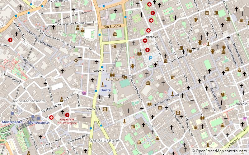
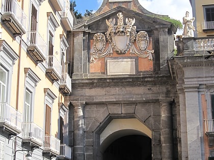
The Port'Alba is the remnant of one of the city gates in Naples, Italy. It is located on the northwestern edge of Piazza Dante, just north of Vanvitelli's colonnade, which obscures the bastion into which the gate was carved. The gate leads from the piazza into a pedestrian alley, Via d'Alba with shops selling music instrument, books, and restaurants. The passage leads ultimately to Piazza Bellini. ()
Address
Municipalità 2 (Pendino)Naples
ContactAdd
Social media
Add
Day trips
Port'Alba – popular in the area (distance from the attraction)
Nearby attractions include: Palazzo di Sangro di Casacalenda, San Domenico Maggiore, Gesù Nuovo, Palazzo di Sangro.
Frequently Asked Questions (FAQ)
Which popular attractions are close to Port'Alba?
Nearby attractions include Santa Maria della Mercede e Sant'Alfonso Maria de' Liguori, Naples (1 min walk), Palazzo Firrao, Naples (2 min walk), Piazza Bellini, Naples (2 min walk), Music conservatories of Naples, Naples (2 min walk).
How to get to Port'Alba by public transport?
The nearest stations to Port'Alba:
Metro
Bus
Train
Tram
Light rail
Metro
- Dante • Lines: 1 (2 min walk)
- Museo • Lines: 1 (8 min walk)
Bus
- Piazza Dante - Port'Alba • Lines: 139, 168, 178, 182, 584 (3 min walk)
- Piazza Dante - Metropolitana • Lines: 139, 168, 178, 584, R4 (3 min walk)
Train
- Montesanto (9 min walk)
- Napoli Montesanto (10 min walk)
Tram
- Via Marina - Porta di Massa • Lines: 1, 4 (14 min walk)
- Via Colombo - De Gasperi • Lines: 1, 4 (16 min walk)
Light rail
- Napoli Porta Nolana • Lines: 12, 13, 14, 7, 9 (24 min walk)
- Napoli Garibaldi • Lines: 12, 13, 14, 7, 9 (30 min walk)


