Rifugio Tita Piaz

Gallery (1)
Map
Map
Facts and practical information
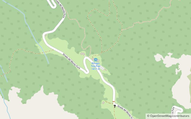
The Tita Piaz hut is an alpine hut in the Western Carnic Alps located at 1,417 m in the municipality of Ampezzo, near the Pura Pass, between the Nauleni and Tinisuta mountains, on the mountain link road between Ampezzo and Sauris.
Coordinates: 46°25'33"N, 12°44'31"E
Location
Friuli-Venezia Giulia
ContactAdd
Social media
Add
Day trips


