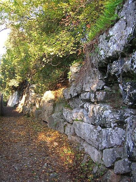
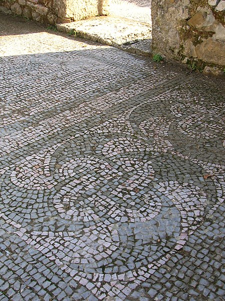
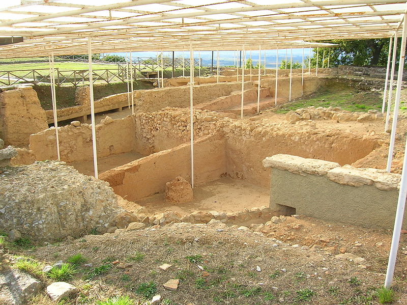
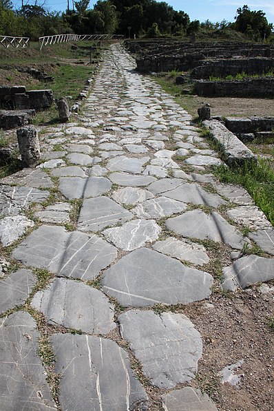
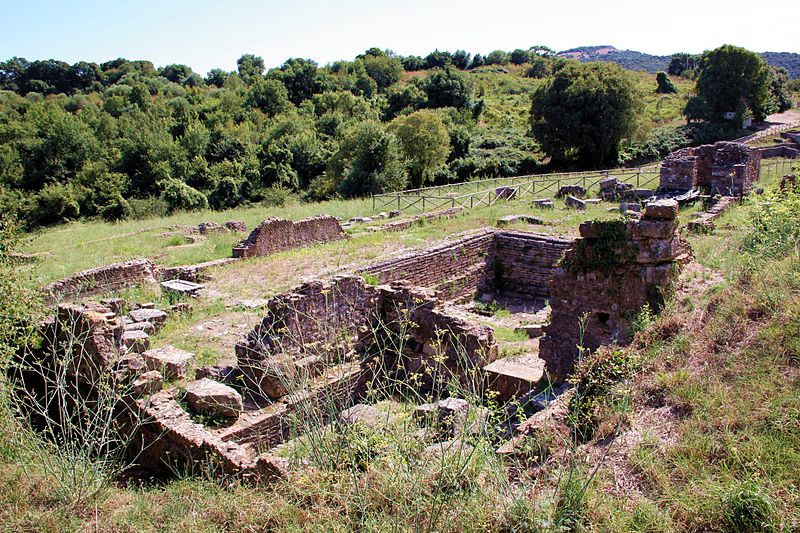
Area Archeologica di Roselle, Grosseto

Gallery (6)
Map

Map

Gallery
Facts and practical information
Area Archeologica di Roselle (address: Via dei Ruderi) is a place located in Grosseto (Tuscany region) and belongs to the category of ruins.
It is situated at an altitude of 525 feet, and its geographical coordinates are 42°49'39"N latitude and 11°9'35"E longitude.
Among other places and attractions worth visiting in the area are: Rusellae (town, 37 min walk), St. Sebastian Church, Istia d'Ombrone (church, 89 min walk), K2 Climbing Gym (climbing, 103 min walk).
Coordinates: 42°49'39"N, 11°9'35"E
Day trips


