Vassallaggi

Gallery (1)
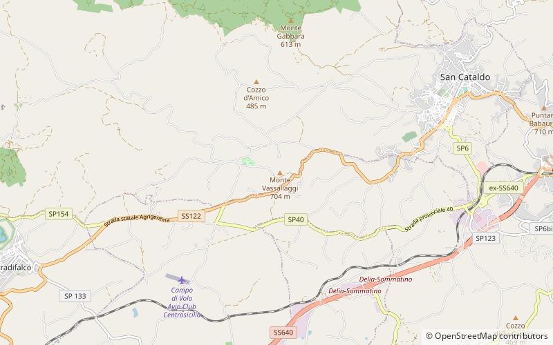
Map
Map
Facts and practical information
Vassallaggi is a Sicilian prehistoric Bronze Age archaeological site, located on the hill of the same name, which had a later flourishing after the 7th century BC as a phrourion. The site is located in the middle of the Salso river valley, at 704 m above sea level, near San Cataldo in the province of Caltanissetta, in a strategic location for communication between the southern coast of Sicily and the northern part of the island. It has a NE-SW orientation and stretches along in parallel with the SS 122 San Cataldo-Serradifalco. ()
Location
Sicily
ContactAdd
Social media
Add
Day trips
Vassallaggi – popular in the area (distance from the attraction)
Nearby attractions include: Serradifalco.
