Hirzer Hütte

Gallery (1)
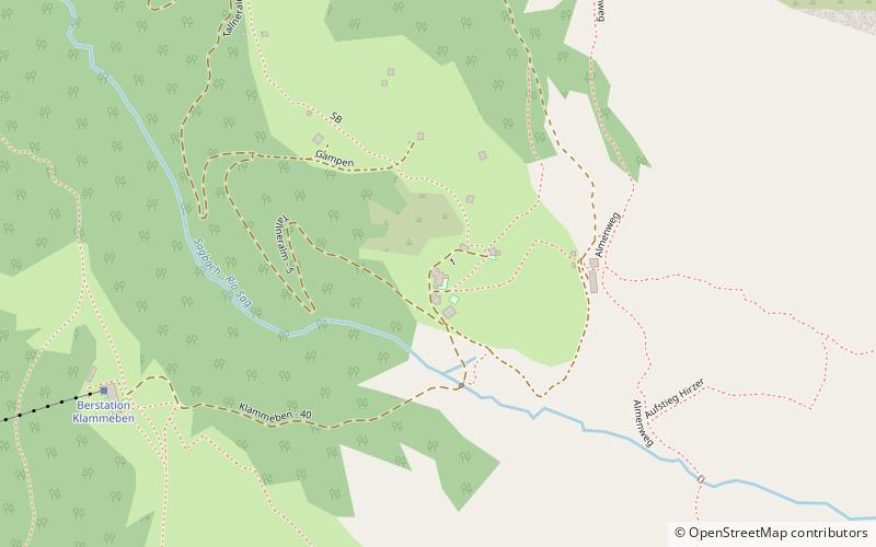
Map
Map
Facts and practical information
Hirzer Hütte is a place located in Italy and belongs to the category of alpine hut, hiking.
It is situated at an altitude of 6476 feet, and its geographical coordinates are 46°44'24"N latitude and 11°15'12"E longitude.
Among other places and attractions worth visiting in the area are: Hirzer (nature, 29 min walk), Passeier Valley (nature, 65 min walk), Ifinger (nature, 84 min walk).
Coordinates: 46°44'24"N, 11°15'12"E
Day trips


