Via della Conciliazione, Rome
Facts and practical information
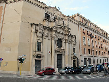
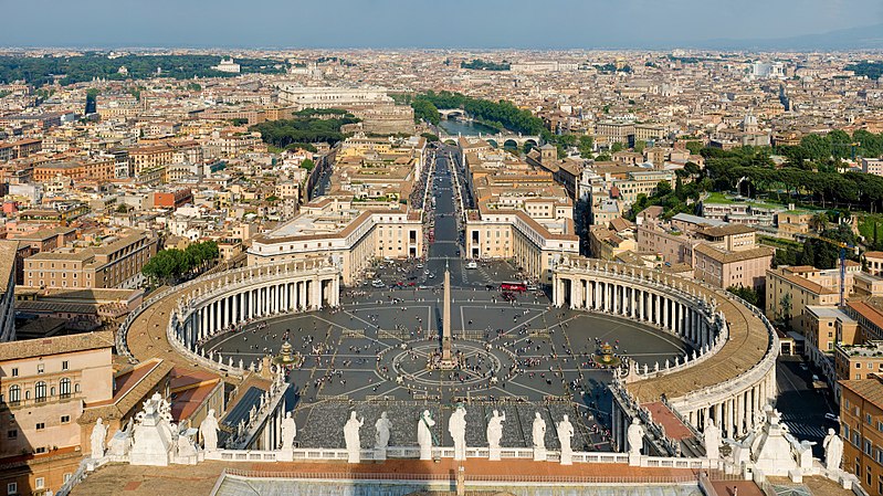
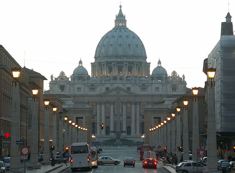
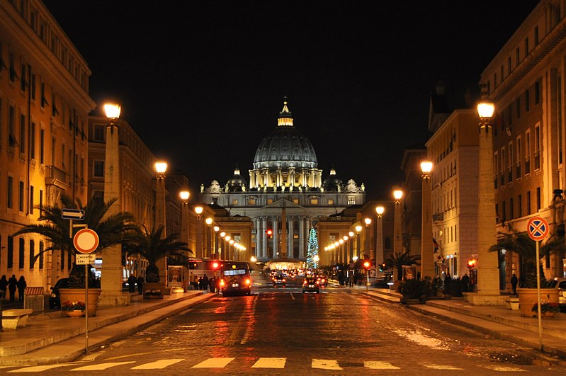
Via della Conciliazione is a street in the Rione of Borgo within Rome, Italy. Roughly 500 metres in length, it connects Saint Peter's Square to the Castel Sant'Angelo on the western bank of the Tiber River. The road was constructed between 1936 and 1950, and it is the primary access route to the Square. In addition to shops, it is bordered by a number of historical and religious buildings – including the Palazzo Torlonia, the Palazzo dei Penitenzieri and the Palazzo dei Convertendi, and the churches of Santa Maria in Traspontina and Santo Spirito in Sassia. ()
Via della Conciliazione – popular in the area (distance from the attraction)
Nearby attractions include: St. Peter's Square, Castel Sant'Angelo, Ponte Sant'Angelo, Fountains of St. Peter's Square.
Frequently Asked Questions (FAQ)
Which popular attractions are close to Via della Conciliazione?
How to get to Via della Conciliazione by public transport?
Bus
- Traspontina/Conciliazione • Lines: 23, 34, 40, 982, n10 (2 min walk)
- Traspontina • Lines: 62 (3 min walk)
Tram
- Risorgimento/S. Pietro • Lines: 19 (9 min walk)
- Ottaviano • Lines: 19 (15 min walk)
Ferry
- Sant'Angelo • Lines: Battelli di Roma (9 min walk)
- Ponte Cavour (17 min walk)
Metro
- Ottaviano • Lines: A (14 min walk)
- Lepanto • Lines: A (17 min walk)
Train
- Vatican City (15 min walk)
- Roma San Pietro (15 min walk)
Light rail
- Flaminio • Lines: Fc3 (27 min walk)



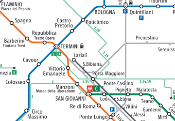 Metro / Tram / Rail


