Mont Glacier

Gallery (1)
Map
Map
Facts and practical information
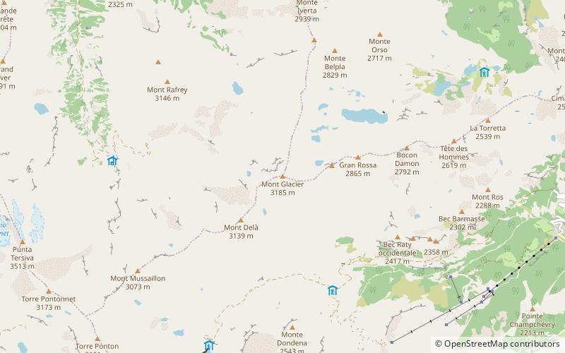
Mont Glacier is a mountain in the Graian Alps, in the Aosta Valley, north-western Italy, approximately 30 km / 19 miles for the border with Switzerland. It has an elevation of 3,185 m. ()
Location
Aosta Valley
ContactAdd
Social media
Add
Day trips


