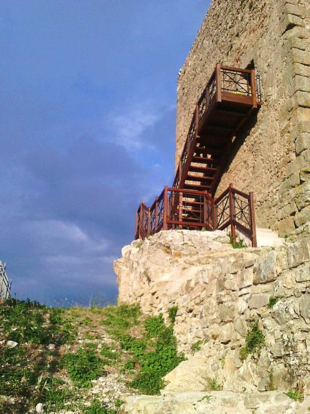
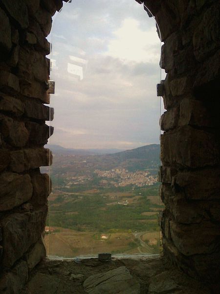
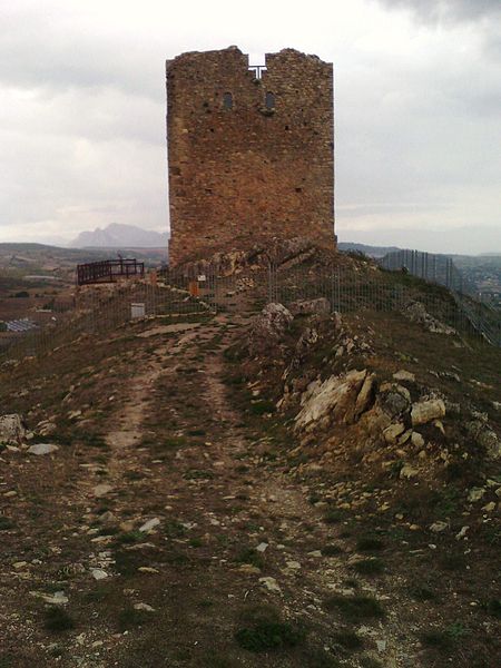
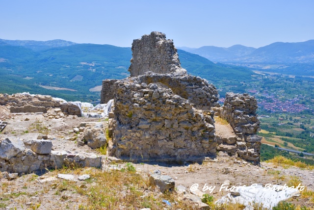
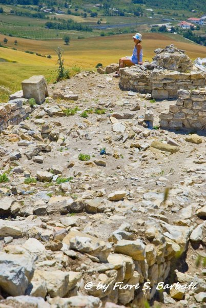
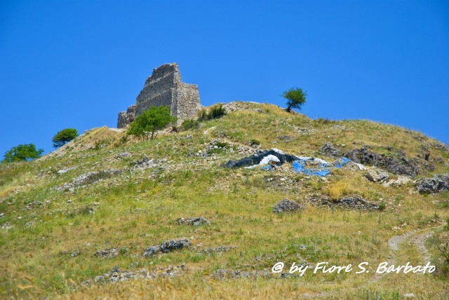
Archaeological site of Satriano

Gallery (8)
Map

Map

Gallery
Facts and practical information
Satrianum was an ancient Lucanian center located on a promontory midway between the present municipalities of Satriano and Tito, an important Norman stronghold and bishopric.
As of 1477 the settlement appears to have been abandoned.
Today the archaeological site of the medieval settlement of Satrianum is open to the public.
Coordinates: 40°34'12"N, 15°38'16"E
Location
Basilicata
ContactAdd
Social media
Add
Day trips


