Doss Trent, Trento
Map
Gallery
Facts and practical information
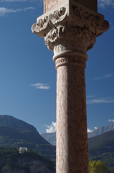
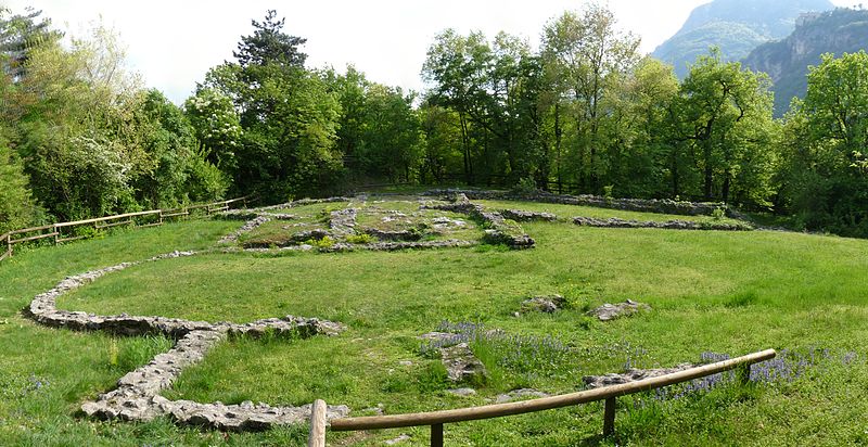
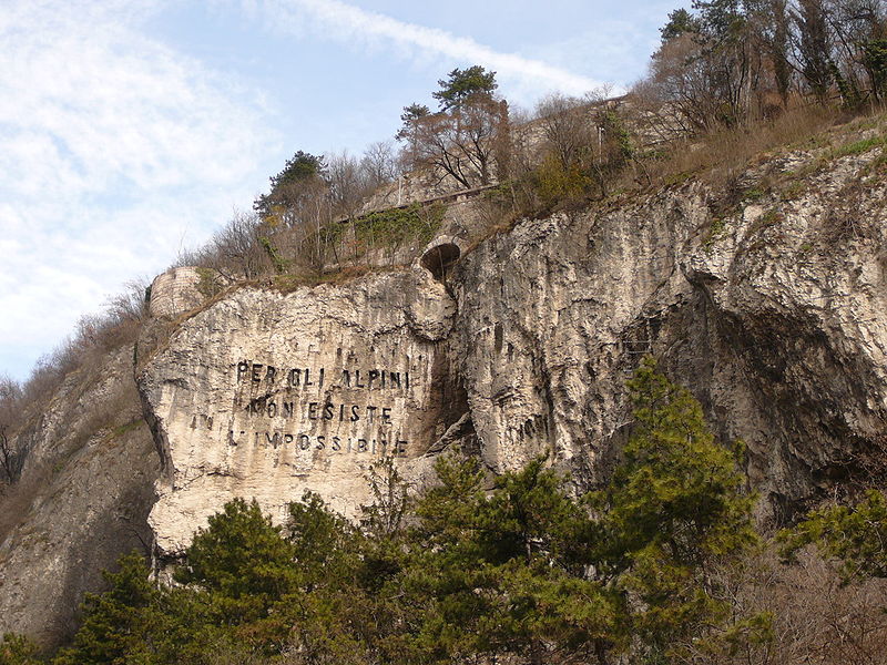
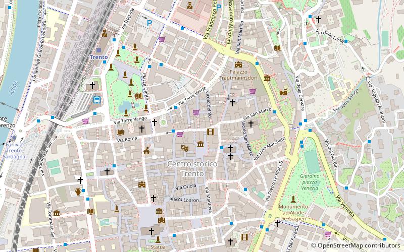
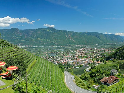
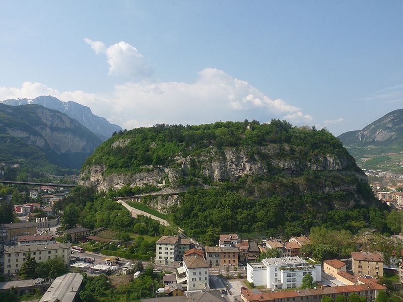
Doss Trento is a small hill that rises on the hydrographic right bank of the Adige River in the Piedicastello district of Trentino's capital city.
It is a spur that reaches 309 m above sea level at its highest point, rising more than 100 meters above the valley floor, and is covered by 8 hectares of forest.
Together with Dosso di San Rocco and Dosso Sant'Agata they form the "three teeth" of ancient Roman Tridentum.
Doss Trento was portrayed in 1495 by the painter Albrecht Dürer in the watercolor Trintperg.
Coordinates: 46°4'22"N, 11°6'42"E
Day trips
Doss Trent – popular in the area (distance from the attraction)
Nearby attractions include: Castello del Buonconsiglio, Stadio Briamasco, Museum of Science, Trento Cathedral.
Frequently Asked Questions (FAQ)
Which popular attractions are close to Doss Trent?
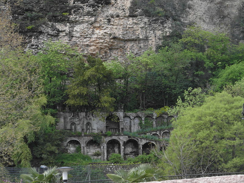
Nearby attractions include Museo storico degli Alpini, Trento (1 min walk), Musoleo di Cesare Battisti, Trento (3 min walk), Le Gallerie, Trento (4 min walk), Badia di San Lorenzo, Trento (9 min walk).
How to get to Doss Trent by public transport?
The nearest stations to Doss Trent:
Bus
Train
Bus
- Brescia / Piedicastello • Lines: 2 (4 min walk)
- Dos Trento / Apuleio • Lines: 2 (4 min walk)
Train
- Trento (10 min walk)
- Trento FTM (12 min walk)


