Monti Marsicani
Map

Map

Facts and practical information
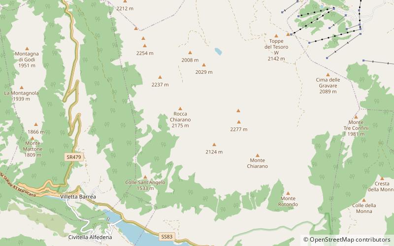
The Monti Marsicani are the sixth-highest group of Apennines located in the Abruzzo region, mostly in the Province of L’Aquila and partly in the Province of Frosinone and Province of Isernia. The highest peak is Monte Greco. They are limited in north by the Fucino plateau and Peligna Valley, on the east by the River Gizio and Altopiano delle Cinque Miglia, on the south by the Valley Sangro and Volturno, on the east by valley Liri and Melfa. ()
Location
Abruzzo
ContactAdd
Social media
Add
Day trips
Monti Marsicani – popular in the area (distance from the attraction)
Nearby attractions include: Lake Barrea, Parco Divertimenti Coppo dell'Orso, Museo civico aufidenate Antonio De Nino, Civitella Alfedena.


